Europe’s shortlist runs from the 55 km Laugavegur Trail in Iceland to the 450–467 km Kungsleden between Abisko and Hemavan. Between them sit the approximately 165 km Tour du Mont-Blanc, the 180 km GR20 in Corsica and the 125 km Alta Via 1 in the Dolomites: five very different answers to the search for the best multi-day treks in Europe.
This comparison is for hikers choosing between technical difficulty, available time, hut infrastructure, remoteness and trailhead access—not simply collecting scenic names. It uses published route information and authoritative secondary sources rather than hands-on testing, and flags where distances, stages and conditions change by variant or season. You’ll see which route suits a first hut-to-hut trip, which demands experience on steep rocky terrain, and which works when you have only three to five days. Before booking, recheck annual hut openings, transport timetables, snow, river conditions and weather advisories.
Quick answer: Choose the Tour du Mont-Blanc for the best all-round Alpine circuit, the GR20 for a strenuous technical challenge, Alta Via 1 for classic Dolomite rifugi, Laugavegur for a short volcanic trek, and Kungsleden for flexible Arctic wilderness sections. Route figures and seasons vary, so confirm current huts, transport and conditions before departure.
How these routes were chosen: evidence, trade-offs and no fake testing claims
This is a research-led comparison, not a report of personal experience. The selection synthesises published route data and planning material, including the Tour du Mont-Blanc’s official planning resource, the Parc naturel régional de Corse’s GR20 material, Dolomiti.it’s Alta Via 1 guide and the Swedish Tourist Association’s information on Kungsleden.
The routes were assessed against the decisions that shape a real trek: scenery and route identity, physical and technical difficulty, distance, realistic duration, hut or refuge infrastructure, camping context, trailhead access, public transport, remoteness, seasonal weather, navigation and safety. That produces a deliberately varied shortlist rather than five versions of the same Alpine walk. A well-supported circuit can suit a first hut-to-hut trip; a more exposed, remote route may be the stronger choice for an experienced hiker seeking a serious challenge.
For a consistent comparison, the baseline versions are the approximately 165-kilometre Tour du Mont-Blanc in around nine to 14 days; the approximately 180-kilometre GR20 in 12–16 days; Alta Via 1’s approximately 125-kilometre line from Lago di Braies to Belluno, usually described in about 12 stages; the approximately 55-kilometre Laugavegur Trail in three to five days; and Kungsleden’s full approximately 450–467-kilometre Abisko–Hemavan route, alongside its more practical shorter sections. These are planning frames, not fixed itineraries: variants, stage choices, transport, snow and weather can alter both distance and duration.
The result should not be read as an objective ranking for every hiker. It is a guide to trade-offs. Before committing, check the relevant park or trail authority and hut operator for current opening dates, reservation rules, transport, closures, river conditions and weather; the STF Kungsleden guidance and current Icelandic route information illustrate why seasonal details matter.
The list: five European routes matched to different hikers
Tour du Mont-Blanc: the best all-round Alpine circuit
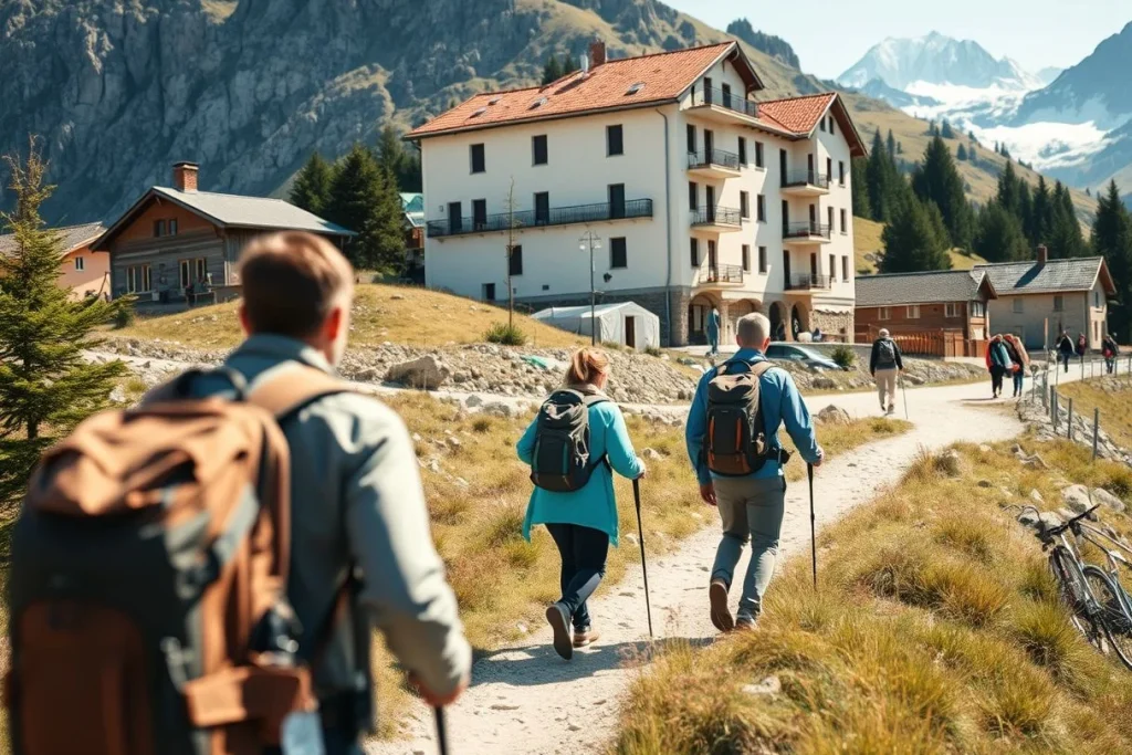
Best for: hikers who want a classic mountain journey with several access points and more overnight infrastructure than most long-distance routes. The Tour du Mont-Blanc is an approximately 165 km cross-border loop around the Mont Blanc Massif, linking France, Italy and Switzerland. Most itineraries take about 9–14 days, depending on route variants and staging.
A practical version starts at Les Houches, near Chamonix, and follows the circuit towards Courmayeur before returning through the Swiss section. Chamonix and Courmayeur are useful planning bases, while the official route material from Mon Tour du Mont-Blanc should be checked for current variants, access and conditions.
Overnight, the route is supported by seasonal mountain huts and gîtes, giving hikers more choice than on the wilder routes in this selection. That infrastructure is the advantage, but it also brings popularity: beds and transport can be more complicated to arrange in the main summer window. High-pass snow can remain a concern at the edges of the season, so check current conditions before setting out rather than treating the nominal itinerary as fixed.
The trade-off: this is the most forgiving choice for a first major European trek if you are comfortable with sustained Alpine walking, but it is not a quiet wilderness route. Choose it for logistical flexibility and scenery across three countries, not for solitude.
GR20: the strenuous choice for experienced hikers
Best for: fit, experienced hikers who specifically want a technically demanding challenge in Corsica. The GR20 crosses the island for approximately 180 km and is commonly planned over 12–16 days, within the Parc naturel régional de Corse.
Its steep, rocky and exposed sections make the route a serious undertaking. The GR20 should not be presented as a beginner trek: secure footing, good mountain-weather judgement and the ability to manage long, demanding days matter more here than simply being able to walk the stated distance. The Parc naturel régional de Corse provides the relevant route context.
Seasonal refuges form the main overnight framework, but this is not the same as a continuous, easy-to-book hut corridor. Check current refuge arrangements, access and any closures with the park authority before committing to a stage plan. Weather can alter the character of exposed rocky sections quickly, so a rigid schedule leaves less room for safe decisions than it does on a more connected route.
The trade-off: the GR20 offers the strongest challenge in this group, but the cost is reduced margin for error. It suits hikers who already understand their pace, footing and limits; it is a poor choice for a first multi-day mountain trek or for anyone relying on generous escape options.
Alta Via 1: the classic Dolomite hut-to-hut route
Best for: hikers who want dramatic limestone scenery and a clearly defined rifugio-to-rifugio structure. Alta Via 1 runs for approximately 125 km between Lago di Braies and Belluno and is commonly described as a route of about 12 stages.
The route’s signature advantage is its network of Dolomite rifugi. That makes it a natural choice for a hut-to-hut holiday rather than a camping-led expedition, although the exact overnight plan depends on the route version and the refuges operating that season. Use the route information from dolomiti.it as a starting point, then verify each refuge directly before booking.
Do not assume every line on the map has the same technical character. Some alternatives include exposed terrain or via ferrata sections; those require appropriate equipment, experience and a deliberate choice of route rather than an improvised detour. Hikers wanting the standard walking itinerary should identify technical variants in advance and check snow and closure information, particularly early or late in the season.
The trade-off: Alta Via 1 gives you one of Europe’s most accessible hut-to-hut formats, but the comfort of a rifugio network does not remove mountain hazards. It is the strongest choice for hikers who want organised nights and Dolomite scenery, provided they are willing to screen out technical alternatives.
Laugavegur Trail: the short trek with the biggest landscape change
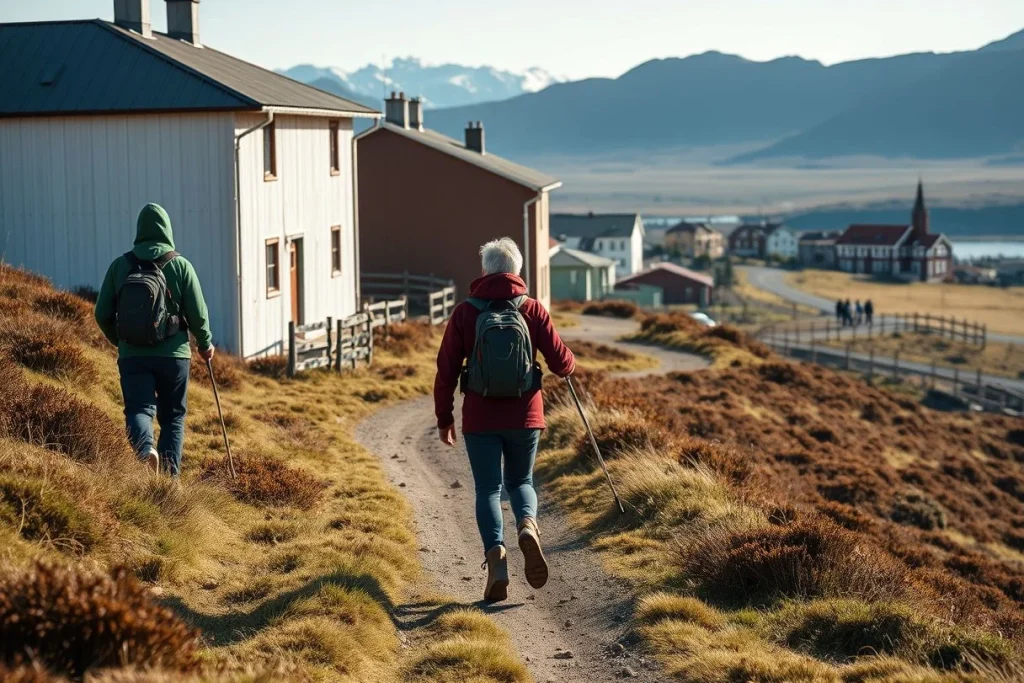
Best for: hikers with only a few days who want a genuine multi-day route rather than a series of day walks. The Laugavegur Trail covers approximately 55 km between Landmannalaugar and Þórsmörk and is generally walked in 3–5 days.
Across the Icelandic Highlands, the route changes character rapidly, which is its defining appeal. Seasonal huts support the usual itinerary, but the hiking season is also limited: the principal window is generally late June to early September. Hut opening dates, reservations and transport should be checked for the year of travel rather than inferred from a previous season.
Access is part of the plan. Seasonal buses commonly link Reykjavík with Landmannalaugar and Þórsmörk, and summer services need advance organisation; current timetables and trail conditions should be confirmed with the transport operator and relevant route authorities. River crossings are a serious practical issue, not a scenic footnote: water levels, bridge status and rapidly changing weather must be checked before departure. Current Icelandic travel and route information, including guidance signposted by Guide to Iceland, should be treated as supplementary rather than a substitute for live conditions.
The trade-off: Laugavegur is the most efficient option for a short holiday, but its compact length does not make it low-risk. Choose it for time efficiency and volcanic landscapes; avoid a fixed departure if river or weather conditions are uncertain.
Kungsleden: flexible Arctic wilderness in Sweden
Best for: hikers who want subarctic scenery and the freedom to select a section rather than commit to an entire long-distance trail. Kungsleden, or the King’s Trail, runs approximately 450–467 km between Abisko and Hemavan, although many hikers sensibly choose shorter sections.
The most useful planning model is to treat Kungsleden as a menu of hut-supported stretches. On relevant sections, STF huts are roughly 10–20 km apart, offering structure without making the route feel urban or closely serviced. The Swedish Tourist Association is the key source for current trail, hut and section information.
The main hiking window is generally mid-June to mid-September, when many STF huts are open and snow conditions are more manageable. Remoteness still shapes the trip: some itineraries involve boat or river crossings, and transport between trailheads cannot be assumed to run daily or year-round. Confirm cabin opening dates, crossing arrangements, supplies and emergency planning before choosing a section.
The trade-off: Kungsleden is the most adaptable route here, especially for hikers who can spare a week but not a month. It rewards self-sufficiency and careful logistics more than rapid itinerary changes; select a shorter section if this is your first remote Arctic trek.
For all five routes, treat the published distance and duration as a planning version, not a promise. Variants, weather, staging choices and closures can change the daily schedule. Before booking transport or huts, check the relevant park or trail authority, refuge or hut operator, and current weather and safety advisories. Travel insurance should explicitly cover mountain rescue and helicopter evacuation, with exclusions for technical terrain checked in the policy wording.
At a glance: distance, difficulty, huts and trip length compared
Distances and timings below refer to the standard versions most commonly compared, not every possible variant. Kungsleden is the exception: its full route is far longer than a typical holiday, so the practical comparison is a shorter section between STF huts.
| Route | Region | Compared distance and duration | Difficulty profile | Overnight setup | Useful access point | Principal season | Biggest compromise |
|---|---|---|---|---|---|---|---|
| Tour du Mont-Blanc | France, Italy and Switzerland | Approx. 165 km; 9–14 days | Demanding Alpine walking; difficulty changes with variants and passes | Seasonal mountain huts and gîtes | Les Houches or Chamonix; Courmayeur is another major access point | Usually June–September | Popular and exposed to snow or closures on high passes |
| GR20 | Corsica | Approx. 180 km; 12–16 days | Strenuous, steep, rocky and technically demanding, with exposed sections | Seasonal refuges; arrangements vary along the route | Corsica; the chosen north or south trailhead determines access | Summer, with careful weather planning | Not a beginner trek; secure footing and mountain judgement are essential |
| Alta Via 1 | Dolomites, Italy | Approx. 125 km; about 12 stages | Demanding hut-to-hut walking; some variants are exposed or involve via ferrata terrain | Dolomite rifugi | Lago di Braies; the route finishes at Belluno | Usually June–September | Snow, exposure and variant choice can materially alter the undertaking |
| Laugavegur Trail | Icelandic Highlands | Approx. 55 km; 3–5 days | Shorter but weather-exposed; river crossings require current judgement | Seasonal huts | Landmannalaugar or Þórsmörk | Late June to early September | Rapid weather changes, river levels and seasonal transport limit flexibility |
| Kungsleden | Swedish Lapland | 450–467 km end to end; shorter sections are more practical | Remote subarctic walking; conditions and logistics matter more than technicality | STF huts roughly 10–20 km apart on relevant sections | Abisko; Hemavan is the southern end | Generally mid-June to mid-September | Long distances, remoteness and changing cabin or crossing arrangements |
Planning note: the season labels are broad guides, not guarantees. Check annual hut and refuge opening dates, transport timetables, high-pass snow, river conditions and route advisories with the relevant hut operator, trail authority or park before booking. Distance, duration and difficulty can all shift with weather, staging and route variants.
How to choose: the right trek for your time, experience and priorities
Start with the time you actually have

For a first multi-day mountain trek, the Tour du Mont-Blanc is the most forgiving choice in this group. Its approximately 165 km circuit is usually planned over 9–14 days, and seasonal huts and gîtes across France, Italy and Switzerland make it possible to organise stages around overnight stops rather than carrying a full camping load. That support does not remove the need for fitness, navigation and sound judgement in poor weather; it simply gives you more options if a stage proves too ambitious.
With only a long weekend or a short holiday, choose the Laugavegur Trail. The route is approximately 55 km and is generally walked in 3–5 days, with seasonal buses linking Reykjavík to Landmannalaugar and Þórsmörk. Its compact length is attractive, but Iceland is not a low-risk shortcut: river levels, bridge status and rapidly changing weather must be checked before setting out. The usual window is late June to early September, subject to annual conditions and hut operation.
Match the landscape and difficulty to your experience
- For the most dramatic hut-to-hut scenery: choose Alta Via 1 in the Dolomites. The approximately 125 km route from Lago di Braies to Belluno is commonly divided into about 12 stages, with rifugi providing a classic mountain-hut structure. Read the route description carefully: some variants include exposed ground or via ferrata terrain, so select the standard line unless you have the equipment and experience for the alternative.
- For the hardest and most technical option in this selection: choose the GR20 in Corsica. Its approximately 180 km length is commonly planned over 12–16 days, but the headline distance understates the challenge. Steep, rocky and exposed sections make it a strenuous route for experienced hikers, not a first European trek; the Parc naturel régional de Corse material is a useful starting point for understanding its character.
- For flexible wilderness rather than one fixed itinerary: choose a section of Kungsleden. The King’s Trail runs approximately 450–467 km between Abisko and Hemavan, but shorter sections work better for many visitors. On relevant stretches, STF huts are roughly 10–20 km apart, giving you a supported plan while retaining a remote, subarctic feel. Check the Swedish Tourist Association’s current route information for cabin openings, crossings and local logistics.
Choose your overnight system, not just your trail
Huts, gîtes and rifugi reduce pack weight and simplify water and food planning, but they create a booking problem: popular beds can shape the entire itinerary. Reserve the accommodation sequence before committing to transport, then verify each operator’s opening dates and cancellation rules. The TMB, Alta Via 1 and the seasonal refuges on the GR20 all require route-specific checking rather than assumptions based on a general summer calendar.
Camping can offer more independence and may suit a slower or lower-service trip, but it does not automatically make a trek simpler or cheaper. Wild camping, fires and overnighting rules vary between countries, parks and protected areas; check the relevant park or trail authority for every section. Remote routes can also add transfer, food-resupply and contingency costs, even when the accommodation itself appears inexpensive.
Plan for walking ability, not kilometres
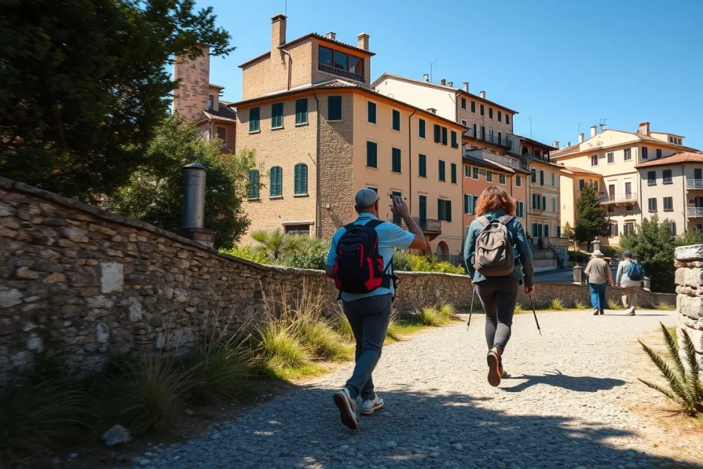
Do not select a route solely from its advertised distance. Compare daily ascent, rocky or exposed terrain, pack weight, weather margins and the number of consecutive walking days. Build in a rest or weather day when transport and accommodation allow it, and identify possible escape points before departure; a route with a shorter daily stage is not necessarily easier if the ground is technical or a pass is snowbound.
A guide is most useful when you lack mountain-navigation experience, are travelling through technical terrain, or cannot confidently judge changing conditions. Independent hikers should be comfortable with map and compass or a reliable offline navigation system, and should leave a detailed itinerary with someone at home. On Laugavegur, consult current Iceland route guidance before river crossings; for alpine routes, check the relevant hut, park and trail authority for snow and closure updates.
Make insurance part of the route choice
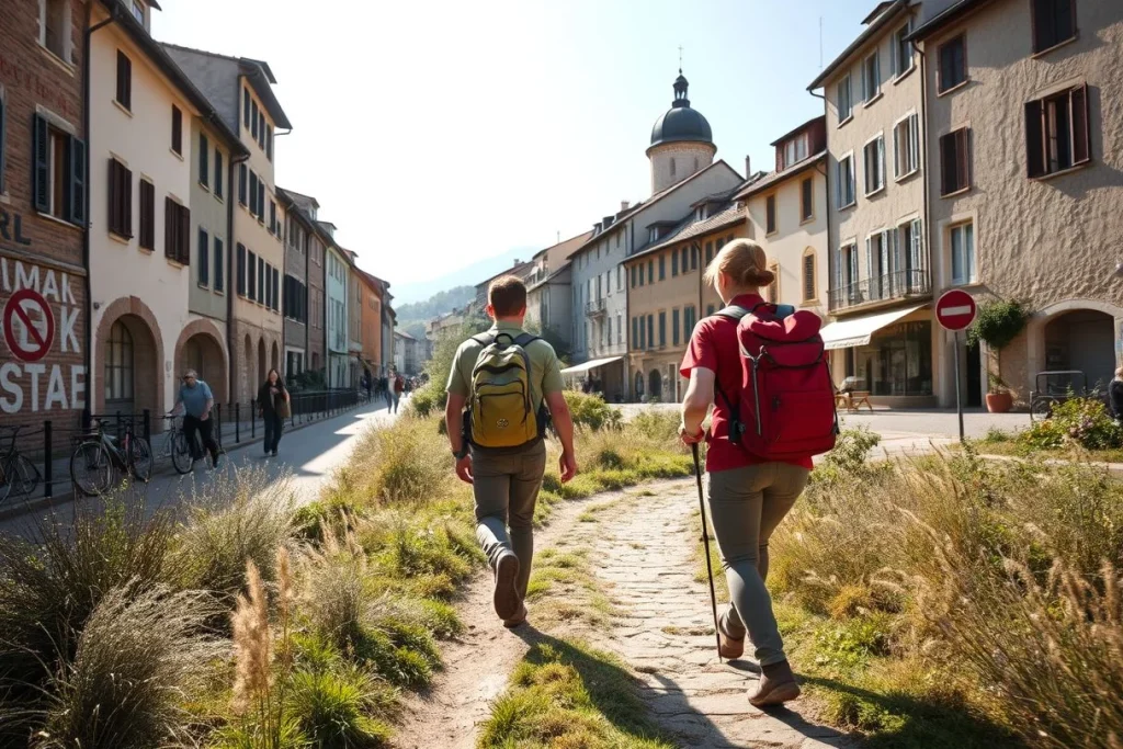
Buy travel insurance that explicitly covers mountain rescue and helicopter evacuation, then read the exclusions for technical terrain, via ferrata sections, unsupported trekking and changing plans. Standard medical cover may not include the evacuation you need in a remote valley. Before paying for huts or transfers, check the policy wording against your chosen route, equipment and planned variants.
Conclusion: choose the trade-off you can plan for
For most hikers, the Tour du Mont-Blanc is the strongest default: a well-supported Alpine circuit with enough route flexibility to match a 9–14-day holiday. Choose the Laugavegur Trail if your time is limited and you want a 3–5-day trek; Alta Via 1 if rifugi and Dolomite limestone are the priority; the GR20 if you have the experience for steep, rocky and exposed terrain; and Kungsleden if you prefer to shape a longer Arctic journey around a shorter section.
Once you have chosen, check the current year’s hut opening dates and booking rules, seasonal transport to the trailhead, snow and route conditions, and—especially in Iceland—river levels and weather. Only then commit to your itinerary and reservations.
Frequently asked questions
Can I hike these routes without carrying a tent and cooking gear?
Often, the hut-supported versions are designed around overnight stays in mountain huts, gîtes, refuges or rifugi: the Tour du Mont-Blanc has seasonal huts and gîtes, Alta Via 1 uses Dolomite rifugi, and Kungsleden has STF huts roughly 10–20 km apart on relevant sections. However, facilities and booking rules vary. Confirm sleeping, meal and cooking arrangements directly with each operator before leaving equipment behind.
How should I train for steep, multi-day mountain terrain?
Build fitness for repeated days rather than one long outing: practise sustained climbing and descending, carry the pack you expect to use, and schedule consecutive hiking days before departure. This is especially important for the GR20, whose steep, rocky and technically demanding sections are intended for experienced hikers, and for Alta Via 1 variants that may include exposed or via ferrata terrain. Adjust the plan if weather or route conditions deteriorate.
Are trekking poles useful on these European routes?
Trekking poles are a practical option for multi-day routes with repeated climbs, descents and uneven ground, but the supplied route sources do not prescribe them or establish that they are suitable for every section. On exposed terrain, rocky passages and river crossings, poles should not replace secure footing or route judgement. Check the specific route guidance, particularly for the GR20, Alta Via 1 and Laugavegur Trail.
What should I do if a hut is fully booked during my itinerary?
Do not assume you can sleep there without a confirmed place. Contact the hut operator or route organisation immediately, then revise the stage plan using only accommodation and transport options that are officially confirmed; seasonal availability differs across the Tour du Mont-Blanc, Alta Via 1, Laugavegur and Kungsleden. Carry a legal backup plan only after checking current camping rules, since the supplied sources do not establish one universal wild-camping policy.
Can I hike only part of Kungsleden or the Tour du Mont-Blanc?
Yes. Kungsleden is approximately 450–467 km between Abisko and Hemavan, and many hikers choose shorter sections; STF huts support relevant sections at roughly 10–20 km intervals. The Tour du Mont-Blanc is approximately 165 km and normally takes about 9–14 days, depending on route choices and variants, so a shorter itinerary requires deliberate staging. Recheck seasonal transport, hut openings and conditions before selecting endpoints.
What navigation equipment should I carry if the trail is well marked?
Marked trails still require a backup navigation plan because distance, duration and difficulty can change with variants, staging and weather. Carry the route information, a means of checking your position and enough battery or power for the trip; the supplied sources do not specify a standard equipment list. Treat this as particularly important on Laugavegur, where rapidly changing weather and river crossings require current-condition checks before departure.