
This article contains affiliate links. If you book through one of our links, we may earn a commission at no additional cost to you.
At Lago di Braies, the Alta Via 1 starts with a demanding climb of roughly 900 metres to Rifugio Biella before the route settles into its high-level traverse towards Belluno. This Dolomites hut-to-hut hiking itinerary follows the classic line across the Fanes, Lagazuoi, Nuvolau and Civetta areas, using staffed rifugi rather than camping and allowing roughly 4–7 hours of walking on most days.
It is written for independent hikers planning a first multi-day trek who need more than a sequence of names: realistic timings, booking priorities, trailhead transport and clear points at which to shorten a stage. The 124–125 km route is normally completed in 9–11 days, but a workable nine-day plan depends on hut availability, late-June-to-mid/late-September conditions, lift and bus timetables, and a willingness to adjust the southern stages. Expect long days, substantial ascent and descent, exposed terrain on some variants, and weather decisions that matter more than keeping to a fixed schedule.
Quick answer: A practical nine-day Alta Via 1 plan runs from Lago di Braies towards Belluno, covering approximately 124–125 km with typical walking days of about 4–7 hours. It uses staffed rifugi including Biella, Fanes, Lagazuoi and Civetta-area huts, but the southern overnight sequence must be adjusted to current hut availability, weather and transport conditions.
Itinerary at a glance: the nine-day Alta Via 1 plan
| Day | Route and suggested overnight | Walking time | Distance | Effort and decision point |
|---|---|---|---|---|
| 1 | Lago di Braies to Rifugio Biella | 4–5 hours | 12–14 km | Demanding opening climb; about +900m. |
| 2 | Rifugio Biella to Rifugio Fanes | 5–7 hours | 15–18 km | Longest early stage, with high passes; leave early. |
| 3 | Rifugio Fanes to Rifugio Lagazuoi | 4–7 hours | Not fixed | High-route walking near Passo Falzarego and Passo Valparola; check exit options. |
| 4 | Lagazuoi to the Nuvolau or Passo Giau area | 4–6 hours | Not fixed | Exposed skyline terrain; keep any via-ferrata variant separate from the standard line. |
| 5 | Passo Giau area to Rifugio Coldai | 5–7 hours | Not fixed | Steady westward progress towards the Civetta massif. |
| 6 | Rifugio Coldai to Rifugio Vazzoler, or another available Civetta hut | 5–7 hours | Not fixed | Southern overnight depends on current hut availability and route variant. |
| 7 | Flexible Civetta stage | 3–5 hours | Not fixed | Use as recovery time, weather buffer or preparation for the descent. |
| 8 | Final high-route stage towards a Belluno-area hut or civil accommodation | 5–7 hours | Not fixed | Final mountain walking and substantial descent. |
| 9 | Exit to Belluno, Feltre, Cortina or another transport hub | 2–4 hours | Transfer day | Keep the onward journey flexible rather than linking it tightly to a flight. |
The Alta Via 1 is approximately 124–125 km and is normally walked in nine to 11 days, according to PrenotaRifugi CAI. This nine-day Dolomites hut-to-hut hiking itinerary concentrates the route into four- to seven-hour walking days, but it is not uniformly easy: Day 1 is a steep test, while the exposed middle stages require an early start and room to turn back.
Distances and times are approximate, and the Civetta-to-Belluno sequence is deliberately availability-dependent. Most stages use staffed rifugi, but the exact overnight may need to move when a hut is full, closed or unreachable in poor weather. The route-planning estimates come from Dolomites Planner; confirm the final southern-stage line against current hut information and conditions.
Before you go: hut bookings, access checks and arrival logistics
Book the huts before fixing the dates
The normal high-route season runs from late June to mid/late September. Outside that window, high passes may still hold snow and many mountain huts are closed, so check the season’s snow reports, route advisories and opening dates before committing to the Alta Via 1. These checks need repeating every year; a guide published for one season is not confirmation for the next.
Work through the itinerary one overnight at a time on PrenotaRifugi CAI, or contact the hut directly where it is not listed. Ask for written confirmation of every bed, then check the cancellation terms, dormitory or private-room arrangement, sheet-bag requirement, half-board availability and policy for late arrival. Most stages are served by staffed rifugi, making camping unnecessary; do not assume wild camping or an improvised tent spot is a permitted fallback if a booking fails.
Prioritise the less flexible nights first: Rifugio Biella, Rifugio Fanes, Rifugio Lagazuoi and the Civetta-area huts. Keep the southern sequence adaptable until those confirmations arrive. If one hut is unavailable, alter the stage or add a valley night rather than relying on an unconfirmed reservation.
Check access to Lago di Braies
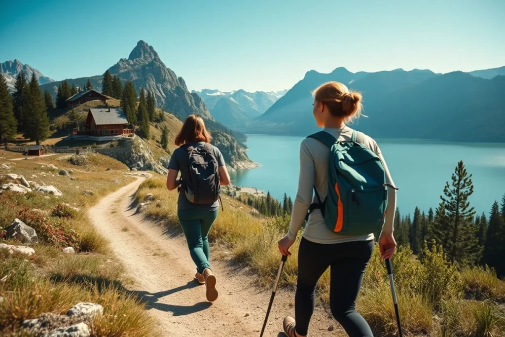
Lago di Braies may have high-season vehicle and daytime access restrictions. Bus 442 is one possible approach, but the route and any advance-booking requirement can change; check the current information for Lago di Braies access close to departure. This matters on Day 1: arriving late can turn an already demanding uphill start into a rushed stage.
Allow time for the approach
Venice Marco Polo Airport is the practical international gateway. Venice to Cortina takes about two hours by coach, while reaching eastern Dolomite trailheads generally takes around two to four hours depending on the connection, according to Cortina d’Ampezzo’s transport information. Check the actual timetable and disruption notices for Cortina Express, Dolomiti Bus and Trenitalia Regionale; regional ticketing and validation rules also change.
Before booking flights, check your nationality-specific Schengen and passport requirements. GOV.UK Foreign travel advice for Italy, updated 17 September 2026, notes that eligibility for visa-free stays depends on nationality, so use your own government’s current guidance rather than assuming the general 90-day rule applies.
Final checks
- Download the route map and offline GPS tracks, and carry a charged phone with emergency contacts.
- Check the forecast each morning and have a retreat plan to the nearest hut or valley if storms develop.
- Arrange suitable mountain insurance, including emergency rescue cover.
- Leave a generous buffer after the final descent; do not pair the trek with a tightly timed flight.
Day by day: a realistic nine-day Alta Via 1 itinerary
This nine-day Dolomites hut-to-hut hiking itinerary follows the Alta Via 1 from Lago di Braies to the Belluno area. The route is approximately 124–125 km, normally walked in 9–11 days; this faster nine-day version uses 4–7-hour stages, staffed rifugi and one deliberately flexible Civetta day. Exact distances, times and overnight huts vary with route variants, conditions and confirmed availability.
Day 1 — Lago di Braies to Rifugio Biella
Morning
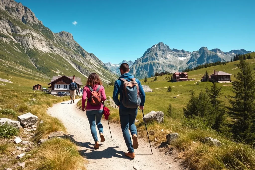
Reach Lago di Braies early and begin walking soon after breakfast. The opening stage to Rifugio Biella is approximately 12–14 km, takes 4–5 hours and gains about 900 m, making it a demanding first day rather than a gentle warm-up. Staying near the lake the previous night is the sensible choice.
Afternoon
Allow time for a steady climb and short navigation breaks before the final approach to the hut. Carry water from the trailhead and confirm at breakfast where the next reliable refill is. If legs or weather deteriorate, retreat towards Lago di Braies rather than forcing the high route.
Evening and food
Eat the hut dinner and prepare a packed lunch or snacks for Day 2. Ask the hut about the next stage’s water points and any snow or storm concerns. An early night matters: Day 2 is the longest effort of the opening section.
Getting around
Lago di Braies can have high-season vehicle and daytime access restrictions. The access information for Lago di Braies advises checking current restrictions, Bus 442 arrangements and any advance booking requirements before departure.
Estimated time
Allow 4–5 hours walking, plus breakfast, pauses and several hours of recovery at Rifugio Biella. Leave early enough to be off exposed ground before typical afternoon thunderstorms.
Day 2 — Rifugio Biella to Rifugio Fanes
Morning
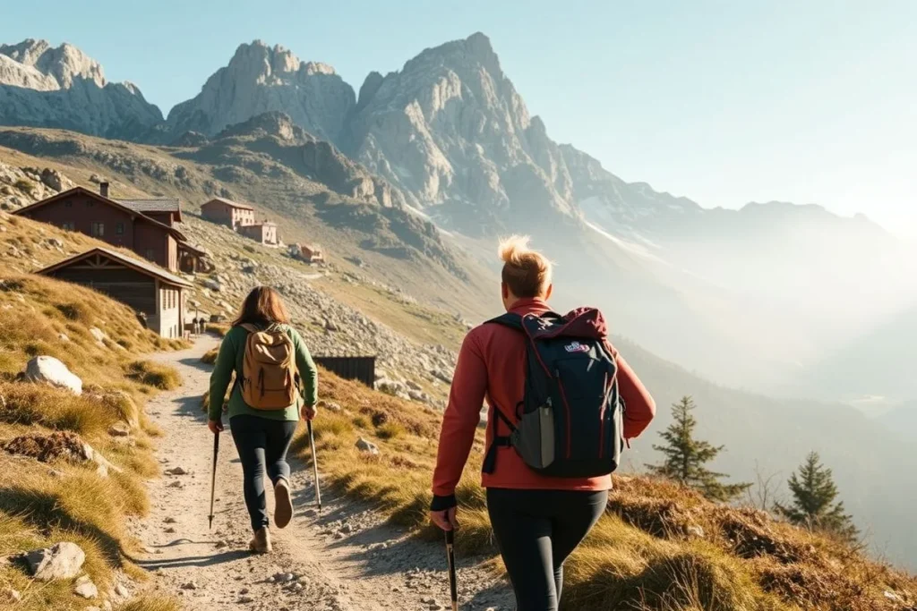
Have breakfast early and start with water, food and warm layers accessible in your pack. The stage to Rifugio Fanes is approximately 15–18 km and 5–7 hours, crossing high alpine terrain and passes. This is the longest early-stage effort, so keep a conservative pace.
Afternoon
Take the main breaks before the highest or most exposed sections, not after fatigue has set in. If storms build, turn back towards Biella or retreat to the nearest staffed hut identified on your map; do not wait on a pass for conditions to improve.
Evening and food
Use the rifugio meal for recovery and arrange breakfast and a lunchbox for the following day. Typical hut meals are practical rather than elaborate: soup, pasta, polenta and simple meat or cheese dishes are useful fuel on this route.
Getting around
This is a walking-only high-route stage. Download the route and carry a paper map; do not assume phone coverage across the passes.
Estimated time
Allow 5–7 hours walking, with a long lunch or weather pause if needed. A late arrival leaves little margin for navigation mistakes.
Day 3 — Rifugio Fanes to Rifugio Lagazuoi
Morning and afternoon
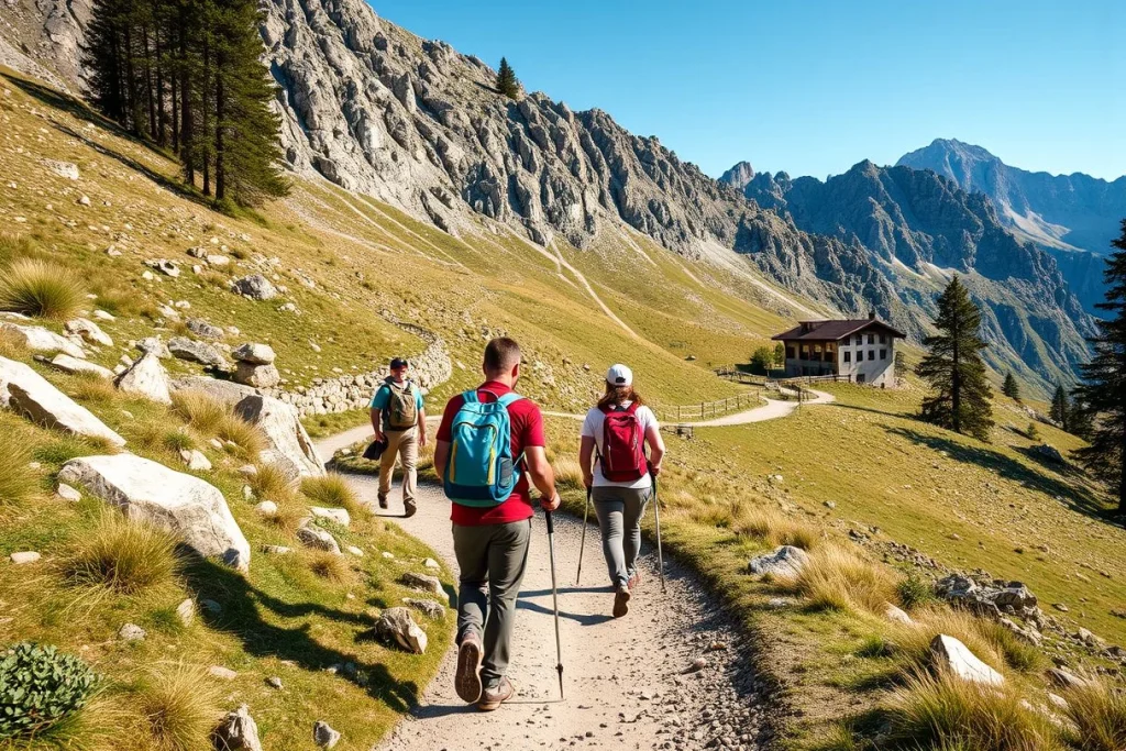
Start after breakfast for the 4–7-hour traverse towards the Falzarego and Valparola area. The route becomes more dramatic but also more exposed in places. Keep the afternoon free for a slow final ascent and a weather decision before committing to higher ground.
Evening and food
Rifugio Lagazuoi is the night’s practical high point: eat at the hut, refill where permitted and check the next day’s skyline route. If the weather or energy is poor, investigate a descent towards Passo Falzarego instead of continuing onto exposed terrain.
Getting around
The Lagazuoi cable car and valley transport can provide an exit or shortening option, but operating dates and times change. Verify them directly before relying on this escape plan.
Estimated time
Plan 4–7 hours on foot, plus time for food and any descent. Start early if thunderstorms are forecast.
Day 4 — Lagazuoi to the Nuvolau or Passo Giau area
Morning and afternoon
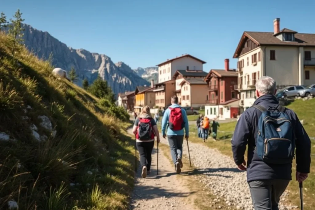
Allow approximately 4–6 hours across exposed skyline terrain towards Rifugio Nuvolau or the Passo Giau area. Follow the standard hiking line unless you have the skills and equipment for a protected route. Via-ferrata variants are not interchangeable with ordinary walking: they may require a certified harness, helmet and lanyard set.
Evening and food
Eat at the selected rifugio and confirm the next overnight before settling in. Carry a packed lunch if the following stage has limited resupply. Retreat towards Passo Falzarego or Passo Giau if storms arrive before the exposed sections.
Estimated time
Allow 4–6 hours walking, with an early start and a firm turnaround time in unstable weather.
Day 5 — Passo Giau area to Rifugio Coldai
Morning and afternoon
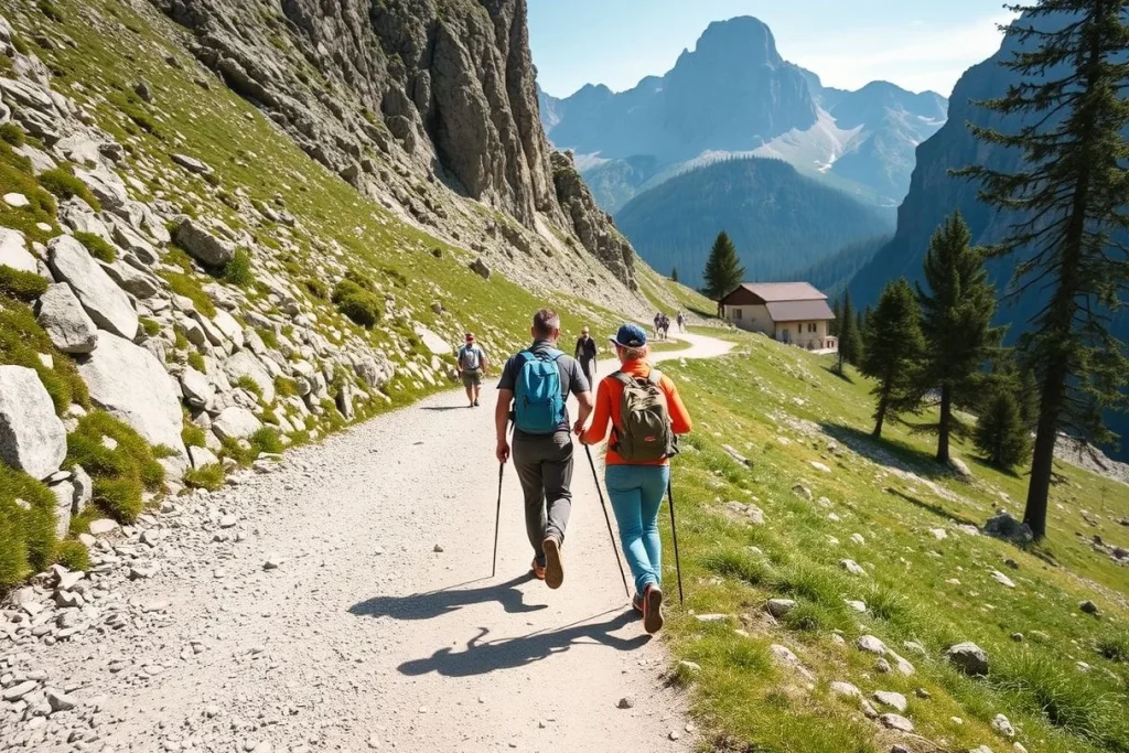
This 5–7-hour stage turns west towards the Civetta massif and Rifugio Coldai. It is a long transition day, so breakfast early, carry lunch and protect the final descent from fatigue. If a lift or bus is proposed to shorten the stage, check current operating dates and times before booking the hut around it.
Evening and food
Plan on a hut dinner and breakfast, with an additional snack for the next morning. In poor weather, stop at the first confirmed Civetta-area hut rather than chasing the planned overnight.
Estimated time
Allow 5–7 hours walking, meals and a substantial recovery period. The practical retreat is back towards Passo Giau or the nearest open valley route shown on the current map.
Day 6 — Rifugio Coldai to Rifugio Vazzoler
Morning and afternoon
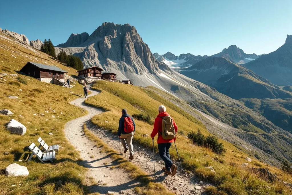
Walk 5–7 hours through the Civetta area towards Rifugio Vazzoler, or the southern-stage hut confirmed at booking. The exact line and overnight depend on current hut availability and route variant. Start early, particularly if cloud is building around the massif.
Evening and food
Take the hut’s dinner and arrange a packed lunch if the next stage has no dependable resupply. Keep enough water for the afternoon; refill only where the hut or current local advice confirms it is suitable.
Estimated time
Allow 5–7 hours walking, with time to retreat to Coldai or descend towards an available valley hut if conditions turn.
Day 7 — Flexible Civetta stage
Morning and afternoon
Keep this to approximately 3–5 hours. Use it as a recovery day, a weather buffer or a short continuation towards the southern route rather than forcing extra kilometres to preserve a rigid schedule. If the forecast is poor, stay at the confirmed hut and wait; a rest day is safer than entering exposed terrain in lightning.
Evening and food
Use the extra time to dry clothing, check the forecast and confirm the final two nights. Order dinner and the next day’s breakfast at the hut, and carry a simple lunch.
Estimated time
Allow 3–5 hours walking, with the remainder available for rest or a conservative retreat.
Day 8 — Final high route and descent towards Belluno
Morning and afternoon
Allow 5–7 hours for the final high-route section and descent towards Belluno. Decide in advance whether you are finishing at a valley rifugio or continuing to civil accommodation. Do not begin a long descent late: wet rock, fading light and tired navigation are a poor combination.
Evening and food
Eat at the valley hut or arrange dinner in the confirmed accommodation. Keep the final night simple and accessible to transport rather than adding an unnecessary detour.
Estimated time
Allow 5–7 hours walking and a full afternoon for the descent. If storms arrive, remain at the last safe hut and descend only when the route is clear.
Day 9 — Exit transfer
Morning
After breakfast, transfer towards Belluno, Feltre, Cortina d’Ampezzo or another transport hub. Allow approximately 2–4 hours door to door and avoid pairing the transfer with a tightly timed flight.
Getting around
Trenitalia regional services and local buses connect valley towns. Venice is a practical gateway; coach travel between Venice and Cortina takes approximately two hours, while eastern trailhead transfers commonly take about 2–4 hours. Check Trenitalia, Dolomiti Bus and Cortina Express for the actual date.
Where to eat
Use the final hut breakfast, then buy food in the first valley town rather than relying on trailhead facilities. After several days of rifugio meals, a bakery, pizzeria or pasta restaurant makes an easy recovery meal.
Optional extras
- Use Day 7 as a full rest day if the weather window is poor or the first six stages have run long.
- Shorten Days 3–5 only after confirming the Lagazuoi lift, valley buses or alternative hut availability.
- For a more relaxed version, add a tenth day between the Civetta stages instead of compressing the southern descent.
Where to stay: trailhead, rifugio and exit-base options
Choose your base by hiking style
For the easiest first morning: stay near Lago di Braies or elsewhere in Alta Pusteria. This keeps you close to the start of the Alta Via 1 and suits hikers who want breakfast, kit checks and an early trail departure without first crossing the mountains. Lago di Braies can have high-season vehicle and daytime restrictions, so check the current access arrangements and any Bus 442 booking requirement before choosing a hotel there, advises My Prags’ 2026 access information.
For transport and supplies: choose Cortina d’Ampezzo if you prefer a valley hotel before or after the trek. It offers the practical advantages of restaurants, outdoor shops and a larger choice of accommodation, while Venice–Cortina coach travel takes approximately two hours according to Cortina’s tourism information. The trade-off is a less immediate trailhead start than sleeping near Braies; use it as a buffer night rather than trying to force a late arrival into the first stage.
For the continuous high-route experience: sleep in the rifugi, including Rifugio Biella, Rifugio Fanes and Rifugio Lagazuoi, then confirmed huts in the Civetta section. Most Alta Via 1 stages are served by staffed mountain huts, making hut-to-hut hiking practical rather than camping. Expect shared dormitory sleeping, communal meals, limited privacy and an early quiet period; private rooms, where offered, remain dependent on each hut’s confirmed inventory.
For recovery and onward travel: book a final night in Belluno or Feltre. A valley room gives you a shower, proper recovery meal and less pressure on the exit connection. Match the Civetta-area and southern overnights to confirmed availability through PrenotaRifugi CAI or directly with each rifugio; do not select them from the map alone.
Travel costs: 2026 budget, mid-range and supported-trip estimates
For a self-guided nine-day Alta Via 1 itinerary, budget first for the huts and meals, then add arrival and exit nights, transport, insurance and any equipment. The indicative totals below include hut accommodation, food, ground transport and some lifts, but exclude flights and major equipment.
Estimated costs
| Estimated item (EUR, September 2026) | Budget | Mid-range | Luxury |
|---|---|---|---|
| Rifugio dorm bed, per person per night | €22–32 | €32–38 | €38–43 |
| Half-board: bed, dinner and breakfast | About €40 | About €60 | About €79 |
| Hut lunchbox | About €10 | About €11 | About €12 |
| Indicative nine-day self-guided trip | €650–900 | €1,100–1,600 | Not reliably supplied |
| Guided, transfer-supported trek | Not stated | Not stated | €2,200+ |
Basis: sample 2026 prices from PrenotaRifugi CAI and supplied itinerary estimates, checked September 2026. Exact rates vary by rifugio, season and room type.
The table is a planning range, not a quote. Some huts add roughly €4–7 for a sheet bag; also allow for snacks, insurance, equipment rental, an arrival night near Lago di Braies, a final night in Belluno or Feltre, and contingency for a bus, lift or weather-related change. A luxury self-guided total is not reliably available from the supplied prices: build it from current hut, hotel and private-transfer quotes. For the live figure, confirm each reservation and cancellation policy through PrenotaRifugi CAI or the rifugio directly.
| Item | Budget | Mid-range | Luxury |
|---|---|---|---|
| Rifugio dorm bed | €22–€32 per person per night | €32–€38 per person per night | €38–€43 per person per night |
| Rifugio half-board | €40 per person per night | €60 per person per night | €79 per person per night |
| Hut lunchbox | €10 per person | €11 per person | €12 per person |
| Self-guided 9-day Alta Via 1 trip | €650–€900 per person | €1,100–€1,600 per person | Not reliably priced in the supplied sources; use current guided-operator and hotel quotes |
| Guided, transfer-supported trek | Not stated | Not stated | €2,200+ per person |
Estimated ranges based on the sources listed below. Prices change; check with providers before booking.
Travel tips: avoidable mistakes on the high route
Small habits make the Alta Via 1 considerably more manageable. Treat the route as a sequence of daily decisions rather than a fixed line: conditions, hut availability and your pace matter more than preserving the original plan.
- Start early and pace the long stages. The Biella–Fanes section can take approximately 5–7 hours, while the full itinerary commonly involves 4–7-hour days and substantial ascent or descent. Leave margin for navigation, rests and an unplanned retreat rather than timing your arrival for the last possible dinner sitting.
- Check the sky before leaving the hut. Review the afternoon thunderstorm forecast each morning and set a turnaround time for exposed passes. In poor visibility, retreat to the nearest staffed rifugio or take a verified valley exit; do not improvise a shortcut across unfamiliar terrain.
- Carry navigation redundancy. Bring a charged phone, power bank, offline map, downloaded GPS track, paper map and headlamp. Add a small first-aid kit, emergency contacts, water and enough snacks to cover a delayed arrival between huts; mountain response times can be long.
- Check the technical grade of every variant. The Alta Via 1 should not be treated as uniformly non-technical. Confirm whether your chosen line is graded E, EE or EEA using current route information such as PrenotaRifugi CAI and the relevant hut; for via-ferrata sections, use a certified harness, helmet and lanyard set, or hire a qualified guide if you are inexperienced.
- Dress for several conditions in one day. Wear grippy footwear and pack waterproof rainwear, warm layers, gloves and sun protection. Snow patches, rain and sharp temperature changes can remain relevant on high passes even when the valley feels mild.
- Follow hut etiquette. Arrive before dinner, carry a sleeping-bag liner where required, observe quiet hours and pack out personal waste. Bring cash, or confirm card acceptance with each rifugio before departure; do not assume every mountain hut has reliable connectivity or payment facilities.
- Use transport only after checking it. A lift or bus can shorten a stage, but confirm its operating date and timetable on the day’s official operator information. If it is cancelled, use a verified valley route or shorten the walk; never build a safety decision around an unconfirmed connection.
- Protect your transfer day. Never leave luggage or valuables in a parked vehicle during trailhead transfers. Keep the final exit flexible: a weather delay, missed bus or slower descent is a reason to stay overnight in the valley, not to rush toward a tight onward connection.
Conclusion: book the huts first, then build around the route
This nine-day Alta Via 1 itinerary suits independent hikers who can manage repeated 4–7-hour mountain days and are prepared to adapt. Treat the stage list as a framework, not a contract: hut availability, lingering snow, afternoon storms and transport timetables matter more than preserving every planned overnight.
Choose a date in the late-June-to-mid-September hiking window, then verify that year’s hut opening dates and Lago di Braies access arrangements. Reserve the sequence from Rifugio Biella through Fanes, Lagazuoi and the Civetta-area huts before booking non-refundable travel; record a retreat option for every exposed stage. Once the huts are confirmed, add a refundable arrival-night hotel and flexible exit transport.
Frequently asked questions
Can I hike Alta Via 1 without a guide?
Yes, the Alta Via 1 can be organised as an independent hut-to-hut trek: most stages are served by staffed rifugi, and self-guided itineraries are available. It still demands competent mountain navigation, a charged phone, map or GPS and the judgement to retreat when conditions deteriorate. Check the current route information on PrenotaRifugi CAI, and consider a guide for exposed or via-ferrata variants if you lack that experience.
Is the standard route suitable for a first hut-to-hut trek?
It can suit a fit first-time hut-to-hut hiker who is comfortable with sustained ascent, descent and changing mountain weather. The full route is approximately 124–125 km and is normally completed in nine to 11 days, with this plan using walking stages of roughly four to seven hours. It is not a low-level walk: individual days may involve around 300–1,000m of ascent or descent, so conservative pacing and confirmed hut bookings matter.
Do I need via ferrata equipment for the whole route?
No equipment should be assumed necessary for every kilometre, but you should not treat the entire Alta Via 1 as non-technical. Some variants include exposed terrain or via-ferrata sections, and route information may grade sections EE or EEA. If you choose one, confirm the current description and carry a certified harness, helmet and lanyard set; inexperienced users should use a qualified guide. The standard hiking line and each variant must be checked separately.
What should I do if thunderstorms arrive during a stage?
Start early, monitor the forecast before leaving and set a conservative turnaround point for exposed passes. If storms approach, retreat to the nearest hut or descend towards the valley rather than committing to a skyline section. Keep your map or GPS, charged phone, emergency contacts and basic first-aid kit accessible; mountain response times can be long. Recheck conditions daily because the high-route window is normally late June to mid/late September, with snow possible outside it.
Can I shorten a stage using a lift or bus?
Sometimes, but treat transport as a contingency rather than a fixed assumption. The Fanes–Lagazuoi section has cable-car or valley-exit possibilities, while local buses connect valley towns and trailhead areas. Lift operating dates and times, bus timetables and any disruptions must be checked for your travel dates; do not build a tight schedule around an unverified connection. A weather retreat or valley overnight may be more dependable than forcing the original hut sequence.
How do I return from Belluno to Venice after the trek?
Allow approximately two to four hours door-to-door for the exit transfer, and avoid booking a flight with a tight connection. From the Belluno area, regional Trenitalia services and local buses provide the relevant onward network, but the exact combination depends on your endpoint and travel date. Check current departure times, ticketing and validation rules on Trenitalia, and verify local connections before committing to Venice Marco Polo Airport.