At 2,428 metres, Peñalara brings high-mountain terrain and glacial landforms within reach of Madrid, while the Appian Way outside Rome trades summit views for uneven ancient paving and archaeological remains. Those contrasts define the best day hikes near major European cities: they are not interchangeable excursions, and a route that suits a strong hiker may be a poor choice for a short city break.
This guide is for independent travellers and city-break visitors who want a properly documented hike rather than an attractive pin on a map. It compares seven routes by access, distance, walking time, difficulty, scenery, cultural interest, cost considerations, weather window and navigation needs—from a 12.8-kilometre National Trust circuit at Box Hill to flexible forest itineraries at Fontainebleau and a short cultural walk near Sintra. Use it to choose a hike that fits your fitness, transport plans and appetite for hills, historic sites or panoramic views, then check official maps, park notices and transport updates before setting out.
Quick answer: The seven strongest documented choices are Montserrat from Barcelona, Box Hill from London, Fontainebleau from Paris, Peñalara from Madrid, Sintra from Lisbon, Kahlenberg from Vienna and the Appian Way from Rome. They range from easy woodland and history-led walks to the high-mountain Peñalara route, so the right pick depends on access, fitness, scenery, cultural interests and current conditions.
How these were chosen: documented routes, realistic access and distinct experiences
The shortlist prioritises hikes that can be reached from Barcelona, London, Paris, Madrid, Lisbon, Vienna or Rome by public transport or a short drive, completed within a day, and supported by official route information, visitor guidance or maps. It also deliberately spans very different landscapes: serrated mountain terrain, woodland and rock, alpine ground, vineyards, historic roads and archaeological sites.
This is a source-led comparison, not a record of hands-on testing. The article compares documented route options rather than pretending that each destination has one canonical trail: Montserrat, Fontainebleau and Sintra, for example, offer several itineraries. The National Trust’s Box Hill route and the Appian Way park’s mapped itineraries illustrate that approach.
For each pick, the useful questions are practical: how straightforward is the trailhead, what distance and duration are documented, and how demanding is the ground? The comparison also weighs scenery, cultural interest, navigation, exposure to heat, rain or high-mountain weather, likely transport and optional fees. Trail access itself should not be confused with paid cable cars, parking, monument entry or museums.
Transport timetables, route closures, tickets, weather warnings and park notices can change. Check the relevant official operator, park or tourism authority immediately before setting out, using official route PDFs and visitor-centre maps as the primary navigation references.
The list: seven city-accessible hikes worth planning
These are curated picks rather than a universal ranking: each offers a documented way to leave a major European city and spend a meaningful day on foot. The practical differences matter. Montserrat and Peñalara deliver mountain scenery, while the Appian Way and Sintra put historic sites directly into the walk; Box Hill, Fontainebleau and Kahlenberg are more forgiving choices for a first city hiking day.
Montserrat from Barcelona: dramatic rock and a monastery
Standout reason: the serrated rock formations around Montserrat Monastery make this the strongest choice for a dramatic mountain landscape with a cultural anchor. Best for: hikers who want route choice rather than one fixed circuit, and who are prepared to plan around transport.
Regional trains from Barcelona connect with onward rack railway or cable-car options to the mountain. Shorter local circuits begin around the monastery; do not mistake them for the GR-6, the much longer 57-kilometre route linking Barcelona and Montserrat. The Montserrat Tourism Authority’s hiking guidance and current route maps are the sensible starting points.
There is no single distance or duration for the local circuits, and difficulty varies with the route and access point. Expect rocky, exposed mountain paths rather than a level stroll. Trail access is distinct from paid railway, cable-car, parking or monastery services; check current operating information and the weather before committing. This is a day walk, not a hut or camping recommendation, and route closures should be checked with Montserrat’s official notices.
Box Hill from London: a documented Surrey Hills circuit
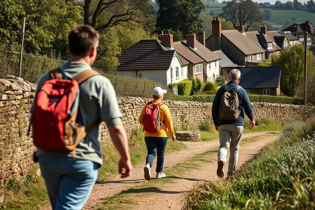
Standout reason: the National Trust’s Box Hill Hike gives London visitors a clearly defined circular route with Surrey Hills views. Best for: walkers who want a substantial but manageable outing by train, including families with older children who are comfortable on uneven paths and hills.
The circular route is 8 miles, or 12.8 kilometres. Its access points include Box Hill & Westhumble station and Dorking; use the National Trust route page and walking PDF for the current line of the trail.
It is not an effortless beginner walk: the distance and changing ground call for proper footwear and enough time. The walking route itself has no route fee, although parking and visitor-centre services may cost extra. There is no need to plan huts or camping for this documented day route; check National Trust access information for current site conditions before departure.
Forest of Fontainebleau from Paris: flexible woodland walking
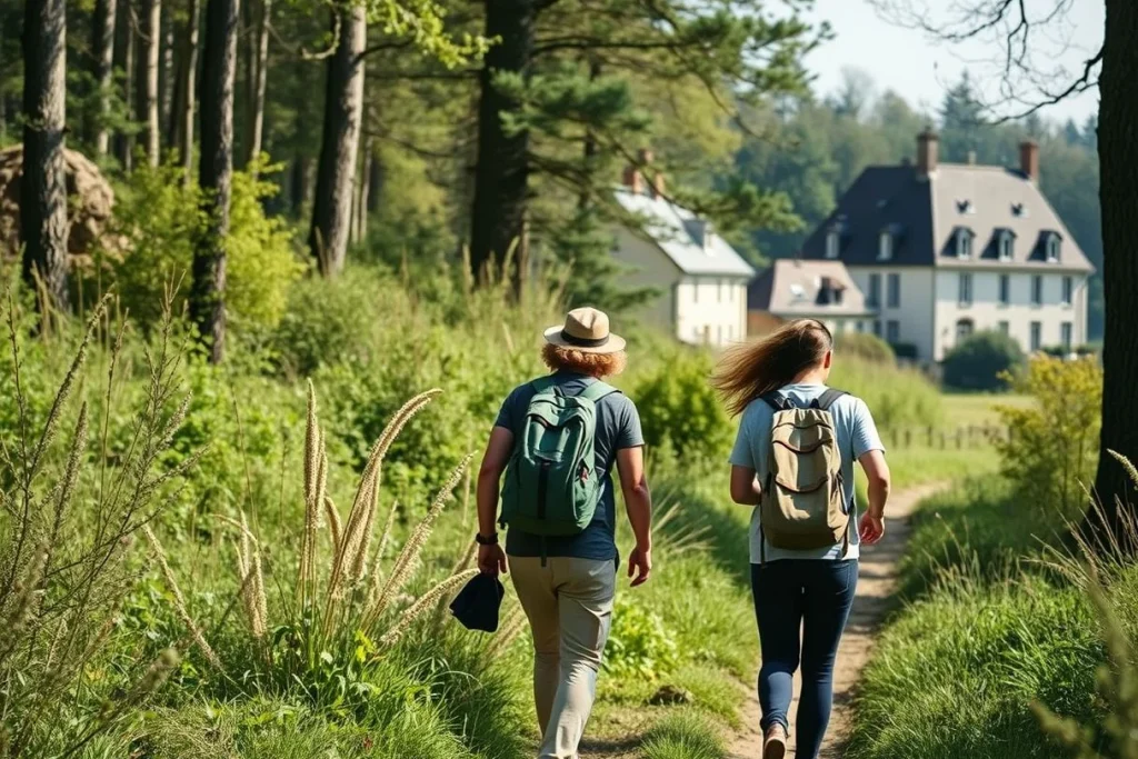
Standout reason: Fontainebleau offers a rare combination of train access, extensive forest, sandstone rock outcrops and optional bouldering. Best for: hikers who prefer choosing their own level and distance rather than following one famous summit route.
Fontainebleau Tourisme publishes walking itineraries beginning at regional stations including Fontainebleau-Avon and Bois-le-Roi. Select the exact itinerary before leaving Paris and download its map: the forest’s flexibility is useful, but it also makes an improvised route harder to navigate.
Distances and walking times depend on the chosen itinerary, so this is best treated as a menu of day walks rather than one standard hike. Woodland paths can become muddy, while rocky ground demands attention; bouldering is optional, not a requirement. No hut or camping arrangement is needed for the documented day itineraries, but check the tourism office’s current route information and any access notices before travelling.
Peñalara from Madrid: the alpine option
Standout reason: Peñalara brings glacial landforms and genuinely high-mountain terrain within reach of Madrid. Best for: fit hikers who want the most alpine experience on this list and can make a proper mountain-weather decision.
A commonly documented route is approximately 13 kilometres, with access via Cotos or Navacerrada connections. Peñalara reaches 2,428 metres, so the Sierra de Guadarrama National Park guidance should take priority over a generic route description. Check the park’s visitor-centre information, transport conditions and forecast before setting out.
This is the least forgiving choice here: exposure, altitude and rapidly changing conditions can turn a walk into a serious undertaking. Plan for a snow-free weather window unless you have the equipment and experience for winter mountain travel. No hut or camping details are supplied for this route, so treat it as a self-contained day hike and verify current restrictions, route markings and emergency guidance.
Sintra from Lisbon: forest, palaces and castle walls
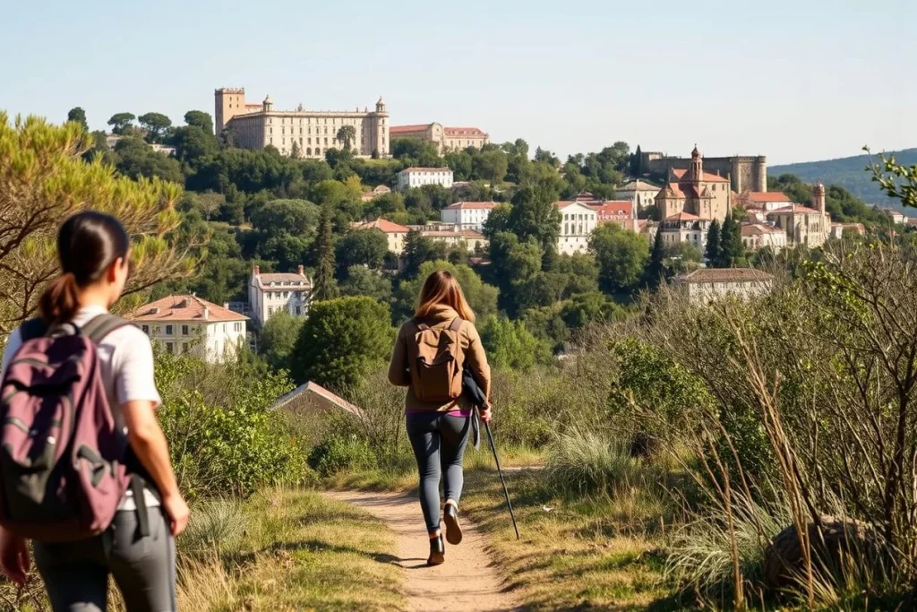
Standout reason: Sintra combines wooded walking with major historic attractions, including Pena Palace and the Moorish Castle. Best for: travellers who want a cultural nature walk and are willing to trade a simple trail day for a more managed, stop-and-start itinerary.
Routes begin near São Pedro de Sintra or the historic centre, reached by train from Lisbon with local onward transport. The Santa Maria Walking Route is listed at approximately one hour and links the heritage landscape with paths near Pena Palace and the Moorish Castle; use the official route information before adding longer sections.
Sintra’s trails can be damp, misty and slippery after rain, so footwear with reliable grip matters. Walking the trails is separate from entering the monuments: some attractions require tickets, and the official monument ticketing information should be checked before building a palace visit into the day. This is not a hut or camping route; allow extra time for transport, queues or route changes rather than treating the one-hour walk as the whole excursion.
Kahlenberg and the Vienna Woods from Vienna: a city-view walk
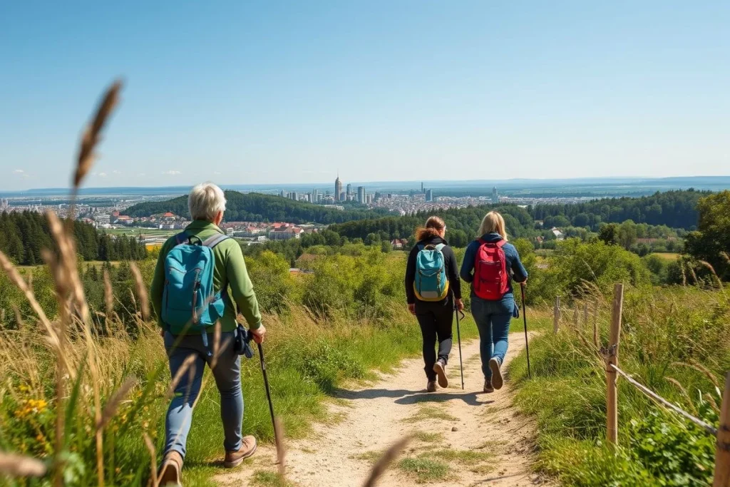
Standout reason: City Hiking Trail 1 gives a straightforward route from the Danube-side edge of Vienna towards Kahlenberg, with views over the city and river. Best for: hikers who want a substantial walk without leaving the urban transport network, with the possibility of finishing near Vienna’s wine-growing area.
The route starts at Nußdorf and runs towards Kahlenberg for approximately 10.8 kilometres, with an estimated walking time of about 3 hours 15 minutes. Reach Nußdorf on tram D or use bus connections towards Kahlenberg; the route details are set out by the city hiking trail guidance, while Vienna’s visitor information explains the area and viewpoints.
Expect woodland and city-edge paths rather than alpine terrain. The route is a strong fit for a half-day walk that can be extended with food or a wine-tavern stop, but check transport and local conditions before starting. There is no hut or camping requirement for this urban-accessible trail.
The Appian Way from Rome: history underfoot
Standout reason: the Parco Regionale dell’Appia Antica turns an archaeological corridor into a walking day, with ancient paving, ruins and mapped itineraries. Best for: hikers who value historic atmosphere over wilderness or elevation.
Bus 118 serves locations along the Appian Way, and the park provides suggested access points, visitor information and mapped itineraries through its official itinerary pages. Choose an itinerary and entry point rather than assuming the entire ancient road is one continuous, simple walk.
Uneven paving and archaeological ground make sturdy footwear appropriate. Sunday traffic and parking can affect access, while some archaeological sites and museums require timed tickets through the relevant ticketing system. Trail access and monument entry are separate; there is no hut or camping plan implied by these park itineraries, so check transport, site access and ticket requirements before leaving Rome.
At a glance: distance, access, difficulty and the experience you get
These seven choices cover a useful range: woodland and lowland walks, cultural trails, and one genuine high-mountain outing. Distances and timings below refer only to the documented routes supplied; where no single circuit is specified, treat the hike as a route family rather than a fixed itinerary.
| City and hike | Documented distance or duration | Broad difficulty and terrain | Trailhead and access | Public-transport practicality | Seasonal or safety watch-out | Optional paid elements |
|---|---|---|---|---|---|---|
| Barcelona — Montserrat | Local circuits vary; the GR-6 is 57 km, a long-distance route rather than a standard day circuit. | Moderate options; steep, rocky mountain terrain | Montserrat monastery and surrounding trails | Regional train, then rack railway or cable car | Check route and access notices; exposed rock can make conditions significant | Onward transport and monastery-related visits |
| London — Box Hill | 12.8 km circular hike | Easier to moderate; woodland, slopes and viewpoints | Box Hill & Westhumble station or Dorking | Strong rail access, with National Trust site guidance | Mud and steep sections can affect an otherwise accessible walk | The route has no fee; parking or visitor-centre services may cost extra |
| Paris — Fontainebleau | Several official itineraries; no single distance applies | Flexible; forest paths, rock outcrops and boulders | Fontainebleau-Avon or Bois-le-Roi stations | Particularly practical by regional train | Use the current route map; rocks and forest navigation require care | Optional bouldering or other visitor activities |
| Madrid — Peñalara | Approximately 13 km; summit at 2,428 m | Demanding; high-mountain and glacial terrain | Cotos or Navacerrada | Connections exist, but check park access information first | Plan for a snow-free weather window and check the national park forecast | No specific route charge supplied |
| Lisbon — Sintra | Santa Maria route: about one hour | Easier cultural walk; forest paths and historic landscape | São Pedro de Sintra or the historic centre | Train from Lisbon, with local onward transport | Mist, damp ground and slippery paths after rain | Pena Palace and Moorish Castle entry is separate from trail access |
| Vienna — Kahlenberg | 10.8 km; about 3 hours 15 minutes | Moderate; Vienna Woods, vineyards and viewpoints | Nußdorf to Kahlenberg | Tram D to Nußdorf or bus connections towards Kahlenberg | Check conditions and the return connection before setting out | No specific route charge supplied |
| Rome — Appian Way | Multiple mapped itineraries; no single distance applies | Easier, but uneven; ancient paving and archaeological ground | Park access points along the Appian Way | Bus 118 serves locations on the route | Traffic, uneven paving and site access need advance checking | Some monuments and museums require timed tickets |
Figures and access details come from the National Trust, Sierra de Guadarrama National Park, Spain.info, Vienna’s visitor information and the relevant tourism or park authorities. Fares, transport timetables, opening hours, route closures and ticket systems change, so check the official linked source immediately before travel. A walk being free of a route fee does not make transport, parking or monument entry free.
How to choose: the right hike for your ability, interests and budget
Choose by the kind of day you want
For beginners or families, start with Box Hill, Kahlenberg or a shorter Appian Way section. Box Hill has the clearest documented format: the National Trust circular is 12.8 km, and the walking route itself has no route fee. It is still a full day on foot, with some gradients, so families should decide whether the complete circuit suits their group rather than assuming every section is easy. The National Trust route guide is the useful starting point.
Kahlenberg offers a similarly manageable city-to-hills option: City Hiking Trail 1 runs from Nußdorf towards Kahlenberg for approximately 10.8 km, with an estimated walking time of about 3 hours 15 minutes. For the Appian Way, choose a shorter itinerary if ancient paving, heat or the open archaeological landscape makes a longer walk unsuitable; the park publishes several mapped routes.
Match scenery and interests
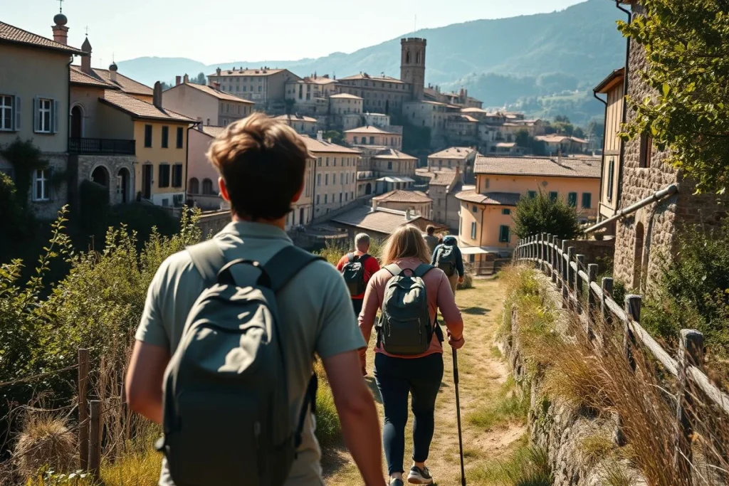
For dramatic mountain scenery, choose Montserrat for accessible spectacle or Peñalara for a serious high-mountain day. Montserrat works well when the landscape and a monastery visit matter as much as the walking; select a short local circuit rather than treating the 57 km GR-6 as a normal day hike. Peñalara is the more demanding choice: the summit reaches 2,428 m, and the approximately 13 km route requires a separate check of Sierra de Guadarrama National Park conditions and access information.
For culture combined with landscape, choose Sintra, Montserrat or the Appian Way. Sintra’s Santa Maria Walking Route is listed at about one hour and links the heritage landscape near Pena Palace and the Moorish Castle, but monument entry is separate from trail access. The Appian Way gives the strongest history-first day, while Montserrat makes the better choice when cliffs and a mountain setting are the priority.
For flexible woodland walking, choose Fontainebleau. Fontainebleau Tourisme lists itineraries beginning at stations including Fontainebleau-Avon and Bois-le-Roi, allowing you to choose between forest walking, rock outcrops and optional bouldering rather than committing to one canonical circuit.
Compare access and budget before scenery
- Simplest public-transport planning: Box Hill has the named Box Hill & Westhumble and Dorking access points; Fontainebleau offers several station-based starts; Kahlenberg can be approached via Nußdorf and onward connections; Rome’s Appian Way is served by bus 118. These are not identical journeys, so compare the return point and last connection as carefully as the trailhead.
- Lowest-cost structure: choose a route with no stated trail fee, such as the Box Hill walk, then budget separately for transport and any parking or visitor-centre services. A “free” walk does not mean free access to the surrounding destination.
- Mixed-cost outings: Montserrat may involve paid onward mountain transport or monastery access, while Sintra can add monument tickets. Check the current official information before committing to a route.
- Culture-led days: Sintra and the Appian Way need the most attention to timed entry. Some Appian Way archaeological sites and museums require tickets, so reserve the cultural stops first and fit the walking around them.
The safest decision is the one that still works if you shorten the walk: choose by return logistics, terrain and the time needed for optional attractions, not by the most dramatic photograph.
Before you go: maps, weather, transport and trail safety
A practical pre-departure checklist
- Start with the official route file. Download the relevant route PDF, park map or visitor-centre map before leaving the city, and keep it available offline. The Sierra de Guadarrama National Park’s Peñalara information and the Appian Way park’s mapped itineraries are useful models; tourist-office material is preferable to an unsourced track shared online.
- Save both ends of the journey. Pin the trailhead and the planned return station, bus stop or village offline. This matters on routes with several access points: Fontainebleau Tourisme lists walks from both Fontainebleau-Avon and Bois-le-Roi, while Montserrat has several local approaches and route variants.
- Check the last connection before setting out. Recheck the railway, bus, rack railway or cable-car operator for the day you travel, then identify the final realistic return connection. A route that fits comfortably on foot can become a poor city day trip if a connection is disrupted or the descent takes longer than expected.
- Read closure and access notices. Check the relevant national park, National Trust, municipality, monument and transport websites on the morning of the hike. This is especially important at Montserrat, where access arrangements can differ by route, and at Sintra, where walking the trails is separate from entering Pena Palace, the Moorish Castle or other monuments.
- Pack for the ground, not the headline distance. Carry water, food, a charged phone, a spare layer, sun protection and footwear with a secure sole. The Appian Way’s ancient paving and archaeological terrain are uneven, so lightweight city shoes are a poor choice even on an otherwise easy historic walk.
- Match the forecast to the route. Box Hill, Fontainebleau, Kahlenberg, lower Montserrat and the Appian Way can often work outside summer, but mud, heat and short daylight still affect pacing. Sintra can be misty, damp and slippery after rain; allow more time on wet paths and confirm current trail conditions through Visit Sintra.
- Treat Peñalara as a mountain day. At 2,428m, it needs a separate high-mountain forecast and a genuinely snow-free window, not just a favourable forecast in Madrid. Check the park’s conditions and visitor-centre guidance before travelling, and turn back if exposure, visibility or the descent no longer feels manageable.
Conclusion: pick the hike that fits your day, not just the view
Choose the hike that matches the day you want, not simply the most dramatic photograph. For straightforward planning, start with Box Hill, Kahlenberg or the Appian Way; each offers a documented route without turning the outing into a high-mountain undertaking. Montserrat and Sintra suit hikers who want scenery alongside a monastery, palace or castle, while Fontainebleau is the most adaptable choice when you want to adjust the walk around forest, rock outcrops or available time.
Peñalara is the choice for fit hikers prepared to plan around mountain conditions. Once you have selected your route, open the official map, then verify transport, access notices and the forecast before travelling. That final check is what turns a promising city break hiking idea into a realistic day out.
Frequently asked questions
Which route offers the biggest change from a city break to a mountain day?
Peñalara from Madrid makes the sharpest transition: the route reaches 2,428m in the Sierra de Guadarrama and passes through high-mountain terrain and glacial landforms. A commonly documented route is about 13km, with access via Cotos or Navacerrada. The national park advises checking conditions and visitor-centre information before setting out. Source: [Sierra de Guadarrama National Park](https://www.parquenacionalsierraguadarrama.es/visita/rutas/1306-pnsg-032).
Can I combine one of these walks with a cultural attraction on the same day?
Sintra is the clearest fit: walking routes begin near São Pedro de Sintra or the historic centre, and the approximately one-hour Santa Maria Walking Route connects with the heritage landscape near Pena Palace and the Moorish Castle. Montserrat also pairs local hiking with a monastery visit, while the Appian Way combines walking with archaeological sites. Monument entry is separate and may require timed tickets, so check official ticketing information. Sources: [Visit Sintra](https://visitsintra.travel/en/discover/active-sintra/land-sports/hiking), [Parques de Sintra](https://www.parquesdesintra.pt/en/agenda/walking-route-santa-maria/), [Appian Archaeological Park](https://www.parcoarcheologicoappiaantica.it/wp-content/uploads/2025/05/Pieghevole-Appia-Antica-A2-ENG-STAMPA_2025.pdf).
Which option gives me the most flexibility if I do not want a fixed route?
The Forest of Fontainebleau is the most adaptable choice. Fontainebleau Tourisme publishes several itineraries beginning at regional train stations including Fontainebleau-Avon and Bois-le-Roi, so you can choose among route lengths and starting points rather than committing to one canonical circuit. The forest combines woodland, rock outcrops and optional bouldering; use the current tourism maps and route information to select a suitable outing. Sources: [Fontainebleau Tourisme](https://www.fontainebleau-tourisme.com/fr/decouvrir-la-region/loisirs-de-pleine-nature/itineraires-randonnees-et-balades/), [Fontainebleau Tourism brochure](https://www.fontainebleau-tourisme.com/wp-content/uploads/2026/04/brochureGroupes_GB_026_compressed-3.pdf).
What footwear is sensible for the easier-looking urban and woodland walks?
Do not treat a city-accessible route as a pavement walk. Sturdy footwear is particularly sensible on the Appian Way, where ancient paving and archaeological terrain are uneven, and on Sintra trails, which can be damp, misty and slippery after rain. For Box Hill, Fontainebleau and Kahlenberg, choose footwear appropriate for a full walking route and check current local conditions before leaving. Sources: [Appian Archaeological Park](https://www.parcoarcheologicoappiaantica.it/wp-content/uploads/2025/05/Pieghevole-Appia-Antica-A2-ENG-STAMPA_2025.pdf), [Visit Sintra](https://visitsintra.travel/en/discover/active-sintra/land-sports/hiking).
How should I prepare for sudden weather changes on Peñalara or Montserrat?
Treat Peñalara as a high-mountain route, not simply a longer city excursion: its 2,428m elevation makes a separate forecast and park-conditions check essential, especially outside a snow-free window. For Montserrat, consult the current official hiking map and notices because the area has multiple route variants and access arrangements. If conditions or access information has changed, choose a lower or shorter documented route instead. Sources: [Sierra de Guadarrama National Park](https://www.parquenacionalsierraguadarrama.es/visita/rutas/1306-pnsg-032), [Montserrat Tourism Authority](https://www.visitmontserrat.com/hiking/).
Is it practical to return by public transport after finishing outside the main trailhead?
Often, but the return depends on the route and the transport operating that day. Box Hill is served by Box Hill u0026amp; Westhumble station or Dorking; Peñalara access is linked with Cotos or Navacerrada; and Rome’s Appian Way has bus 118 serving locations along the route. Kahlenberg can be reached via tram D to Nußdorf or bus connections. Check the relevant operator and park or visitor-site information for current services before committing to a one-way walk. Sources: [National Trust Box Hill](https://www.nationaltrust.org.uk/visit/surrey/box-hill/the-box-hill-hike), [Sierra de Guadarrama National Park](https://www.parquenacionalsierraguadarrama.es/visita/rutas/1306-pnsg-032), [Appian Way Park](https://www.parcoappiaantica.it/visitare-il-parco/comearrivare/), [Vienna Tourist Board](https://www.wien.info/en/livable-vienna/parks-green-spaces/kahlenberg-337908).