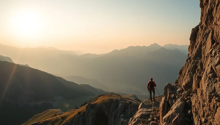
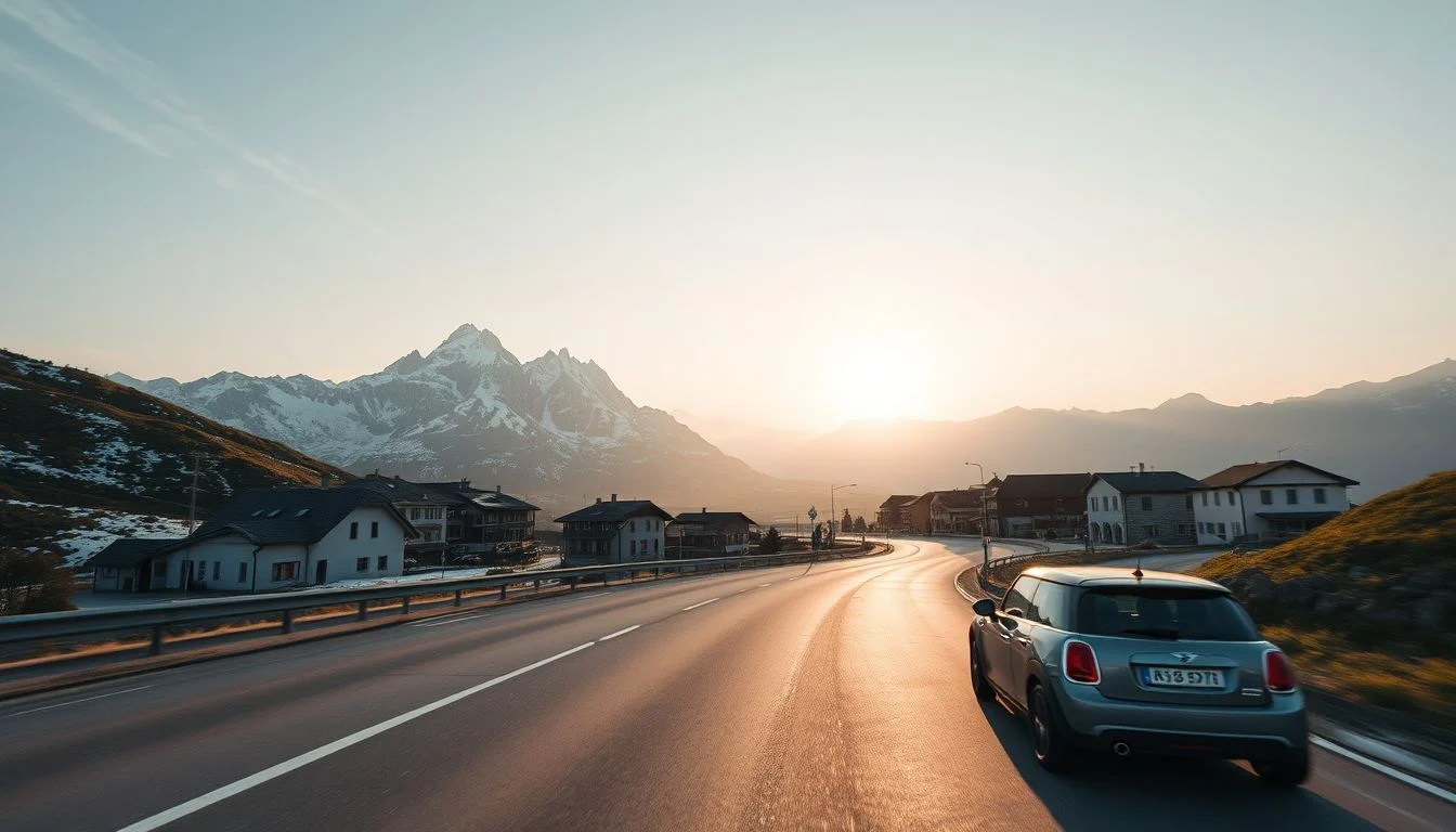
Stelvio Pass climbs to approximately 2,757 metres through 48 numbered hairpins, turning the Italian Alps into a sequence of tight bends, exposed views and careful decisions. It is the kind of road where the route itself matters as much as the destination—and where a clear summer forecast does not replace checking the latest road notice.
This guide helps adventure travellers choose among the best Alpine passes for a road trip according to the trade-off they actually want: Stelvio for iconic technical bends, Großglockner for a structured first high-Alps drive, the Furka–Grimsel–Susten loop for several passes in one compact itinerary, the Route des Grandes Alpes for a longer French journey, and Gavia for a wilder challenge. Expect practical guidance on gradients, hairpins, cycling and motorcycle suitability, tolls, seasonal access, vehicle choice, equipment and the limits of independent driving. The featured roads are generally strongest in June, July and August, but snow clearance, sudden weather, temporary works and event closures can change access.
Quick answer: Choose Stelvio for the most recognisable hairpins, Großglockner for a maintained and well-structured first trip, the Furka–Grimsel–Susten loop for dense multi-pass scenery, the Route des Grandes Alpes for a longer French route, and Gavia for experienced drivers, motorcyclists and cyclists seeking a more demanding road. Plan around the summer access period, then verify official opening status, operating hours, restrictions, weather and event closures shortly before departure.
How these were chosen: the trade-offs behind the shortlist
This is a researched editorial selection, not a hands-on ranking: the routes have been compared through official road information and established route references rather than personal driving or riding claims. The aim is to identify the right trade-off for an adventure traveller, not to declare one pass universally superior.
Each candidate was assessed for landscape, road character and route-building potential: the rhythm of hairpins, gradients, narrow sections, engineering, viewpoints and opportunities to link neighbouring passes. Difficulty matters just as much. A road can be spectacular yet a poor first choice if it demands confident mountain driving, sustained climbing fitness or comfort with limited services and rapidly changing weather.
The shortlist also weighs seasonal reliability and access complexity. High Alpine roads are not interchangeable with ordinary scenic drives: snow clearance, temporary controls, event closures, operating hours and vehicle restrictions can change the plan. Suitability is therefore considered separately for cars, motorcycles and bicycles, including the value of arriving early, travelling independently or using a guided option.
That produces five distinct reasons to detour. Stelvio represents concentrated hairpins and technical drama; Großglockner, a structured scenic road with more infrastructure; the Furka–Grimsel–Susten combination, maximum pass variety in a compact loop; Col de l’Iseran and the Route des Grandes Alpes, a longer French journey; and Gavia, a wilder challenge for travellers who already understand their vehicle, bike and limits.
The list: five Alpine routes worth the detour
The practical differences emerge on the road: how quickly the bends arrive, how much room you have to recover from a mistake, and whether the route gives you a reliable place to stop before the next high section. These five choices suit different kinds of Alpine pass road trip.
Stelvio Pass, Italy: the classic hairpin challenge
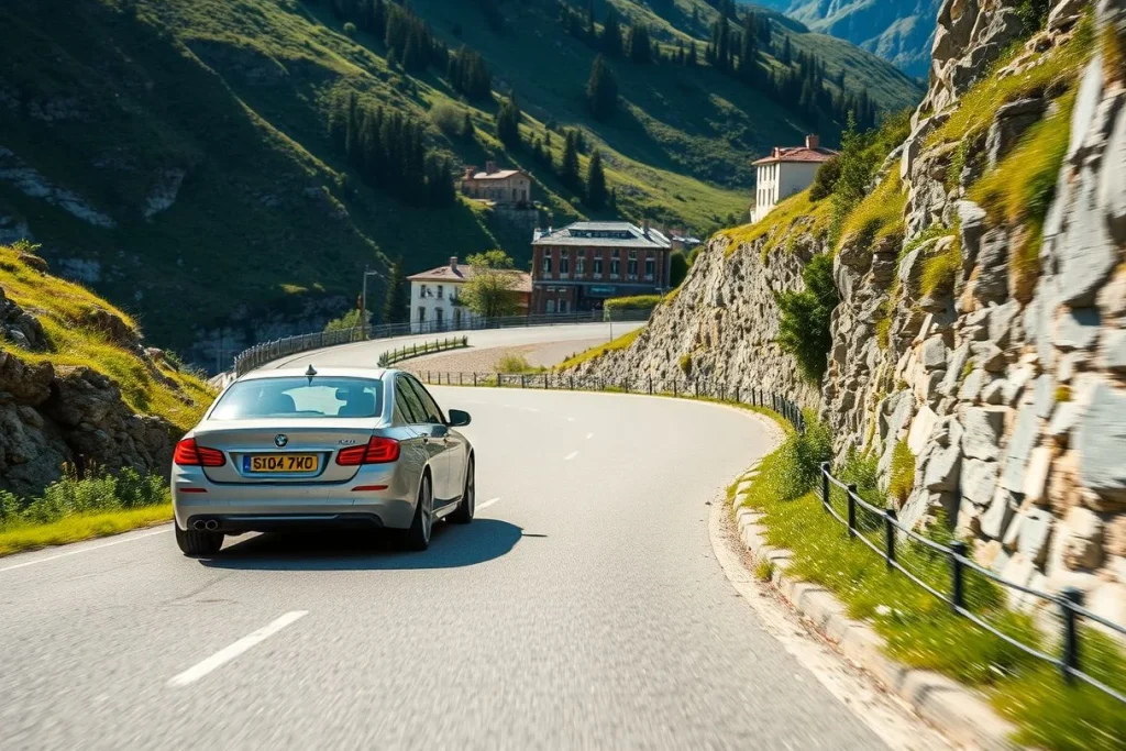
Standout reason: Passo dello Stelvio delivers the most concentrated visual drama in the shortlist, with 48 numbered hairpins and a summit at approximately 2,757 metres. From Bormio, the climb becomes a sequence of tight switchbacks, retaining walls and exposed-feeling turns that demand active concentration rather than passive sightseeing.
Best for: Experienced drivers, motorcyclists and strong cyclists who want a technical climb with an instantly recognisable finish. It is a rewarding route for a compact Italian Alps itinerary, but not the right first mountain road for someone uneasy with reversing, meeting oncoming traffic or judging a tight bend in a larger rental car.
The road’s difficulty comes less from a single steep section than from the rhythm of the corners and the possibility of encountering cars, coaches, motorcycles and bicycles in the same narrow space. Start early if conditions and official access allow: high Alpine roads can see concentrated traffic from mid-morning into early afternoon. Cycling Stelvio is a serious endurance day, while motorcyclists should treat the bends as a precision exercise, not a race track.
Services and fuel should be dealt with before the high section, particularly if you are carrying luggage or travelling in a motorcycle group. Check Enjoy Stelvio National Park, ANAS road information and local notices before setting out. Organised bicycle days, including Stelvio Bike Day-related closures, can change vehicle access; the main drawback is that its fame brings traffic and event disruption precisely when the weather is most attractive.
Großglockner High Alpine Road, Austria: the easiest first choice
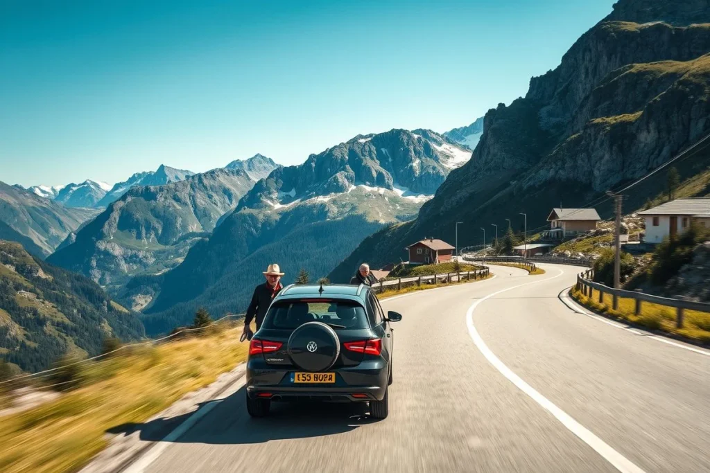
Standout reason: The Großglockner High Alpine Road combines high-mountain scenery with a deliberately structured visitor experience. The road runs for approximately 48 kilometres, includes 36 named bends and reaches the Hochtor at around 2,504 metres, with viewpoints and short walking opportunities along the way.
Best for: A first Alpine road trip, a mixed group with different confidence levels, or travellers who want to stop frequently without committing to a remote, improvised route. Fusch, Heiligenblut and Zell am See provide useful context for building a wider itinerary, while Hohe Tauern National Park supplies the landscape beyond the driving line.
This is still a mountain road: weather can turn quickly, bends require low-speed control, and a mechanically sound vehicle matters. Its maintained character and clear stopping points make it more forgiving than Stelvio, but the road is not automatically suitable for a large camper, trailer or inexperienced driver. Check the operator’s vehicle rules before travelling, especially if your rental is unusually long or wide.
The trade-off is cost and timetable. The road requires a day ticket, and the current amount must be checked on the operator’s dated prices and opening-times page. Seasonal operating hours apply, and night driving is prohibited outside those published hours. Coaches and motorcycles can make the central part of the day busy, so an early run usually gives a calmer drive, provided it falls within the permitted hours.
Furka–Grimsel–Susten loop, Switzerland: maximum variety in one day
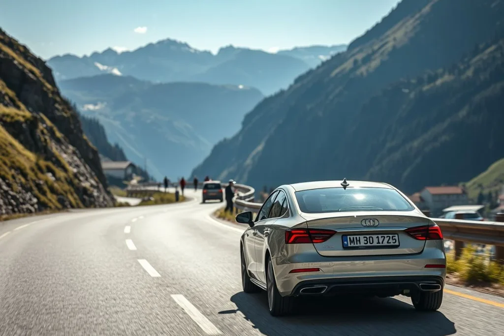
Standout reason: The Furka–Grimsel–Susten combination packs three major passes into a compact central-Swiss route, with glacier views, engineered mountain works and frequent stopping points. Andermatt and Realp are practical anchors, while Canton Uri is the key source for current road notices.
Best for: Travellers who would rather collect varied landscapes than spend a whole day on one famous climb. It also suits photographers and motorcyclists who value changing road character: the loop offers repeated climbs, descents and viewpoints, but remains manageable as an itinerary only when all three crossings are open.
Do not treat the loop as a guaranteed circuit outside the main summer access period. In 2026, Canton Uri reported partial Furka access to Tiefenbach from 23 May and full opening from 29 May, subject to official coordination; the canton reported Susten fully open from 12 June. Those dates demonstrate the variability rather than establishing a permanent calendar.
Construction, single-lane working and temporary traffic controls can interrupt the planned sequence. Check Canton Uri road information and the latest pass notices before leaving Andermatt or Realp. A loop broken by one closure may require a long detour, so keep fuel, water and warm layers in the vehicle. Its drawback is logistical: the route is spectacular when complete, but less flexible than a single-pass outing.
Col de l’Iseran and the Route des Grandes Alpes, France: the long-distance choice
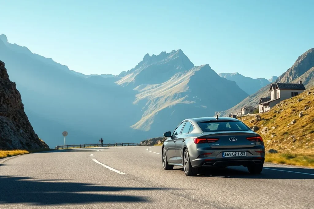
Standout reason: Col de l’Iseran reaches approximately 2,770 metres and gives the Route des Grandes Alpes its high-altitude centrepiece. This is not a quick pass detour but a longer French Alpine spine through Savoie and onward towards places such as Briançon and Gap, with glacial valleys and changing mountain communities between the major climbs.
Best for: Road cyclists, drivers with several days available and travellers who want the journey between passes to matter as much as the summit. The route has strong Tour de France associations and offers a more expansive sense of the French Alps than a single hairpin landmark.
Its length is both attraction and limitation. You need more itinerary time, more tolerance for changing road conditions and more care when planning accommodation and fuel than on the Großglockner road. Remote stretches can offer fewer immediate services, and a summit may be accessible while another section of the wider route is affected by weather or works. For cycling, the route rewards fitness and careful stage planning rather than a casual day ride.
Check French departmental road information and local authority notices shortly before each stage; do not rely on a route planner’s uninterrupted line. The main drawback is that this is a journey to plan, not a single afternoon drive. Its reward is continuity: Savoie’s high valleys, the Iseran crossing and the southern approach towards Briançon and Gap form a coherent Alps road trip.
Passo Gavia, Italy: the wilder technical option
Standout reason: Gavia feels less structured and more demanding than the headline scenic roads. Its narrow, exposed-feeling sections and limited services reward drivers and riders who are comfortable maintaining a steady line, meeting traffic carefully and accepting that the road itself—not a chain of facilities—sets the pace.
Best for: Experienced motorcyclists, confident mountain drivers and strong cyclists looking for a serious Italian climb. Pairing Gavia with Stelvio creates a demanding day of contrasting passes, but it should be attempted only with a realistic assessment of daylight, weather, fitness and the vehicle’s brakes and tyres.
There is less margin for a casual stop or an easy turnaround than on the Großglockner High Alpine Road. Fill up and obtain supplies before the high section, carry water and warm layers, and avoid assuming that a small rental car is automatically appropriate: check its condition, insurance terms and any restrictions before committing to the route. Cyclists should plan for sustained climbing and limited support rather than treat Gavia as a scenic add-on.
Access can change with snow, road works and organised bicycle events. Check Enjoy Stelvio and the relevant Italian authority notices, including ANAS information, before departure. Gavia’s drawback is precisely what makes it appealing: it offers less infrastructure and less forgiveness, so independent travellers need stronger preparation than they would for a managed scenic toll road.
At a glance: compare the five routes
The right route depends less on altitude than on how much technical driving, infrastructure and planning uncertainty you want. This comparison puts the five picks on the same map: Stelvio and Gavia are focused challenges, Großglockner is a structured scenic road, the Swiss trio is a compact loop, and the Route des Grandes Alpes is a longer journey.
| Route | Best for | Format and challenge | Cycling | Services and planning scale | Access caveat |
|---|---|---|---|---|---|
| Stelvio, Italy | Iconic hairpins, motorcyclists | Single pass; highly technical | Demanding climb | Focused day outing; limited high-pass services | Events, snow and road notices |
| Großglockner, Austria | First-time drivers | Managed scenic road; moderate | Possible, but exposed | Visitor facilities and viewpoints; day route | Day ticket, seasonal hours and no night driving |
| Furka–Grimsel–Susten, Switzerland | Several passes in one trip | Compact loop; demanding | Strong cyclists | Frequent stops; one-day loop scale | Staged openings, works and traffic controls |
| Iseran and Route des Grandes Alpes, France | Long-distance road trippers | Multi-pass spine; demanding | Excellent challenge | Multi-day journey; remote stretches | Snow clearance and departmental notices |
| Gavia, Italy | Experienced riders and drivers | Wilder single pass; highly technical | Very demanding | Fewer services; pair with Stelvio | Events, snow and Italian authority notices |
These are planning categories, not permanent ratings. Check the operator or road authority for the planned date: opening status, tolls, operating hours, temporary controls and bicycle-event closures can all change.
How to choose: match the pass to your trip
Choose by driving confidence
For a first Alpine road trip, start with the Großglockner High Alpine Road. Its maintained toll-road format, viewpoints and visitor facilities make route-finding more straightforward than on a remote pass, although 36 named bends over roughly 48 kilometres still demand low-speed control, concentration and comfort with exposure. The road reaches the Hochtor at approximately 2,504 metres, and the operator’s published operating hours matter: night driving is prohibited outside them.
Choose Stelvio for maximum visual drama and technical driving. Its 48 numbered hairpins rise to approximately 2,757 metres, making it a natural target for motorcyclists and confident drivers. Gavia is the more committed choice: narrower and wilder in character, with fewer services, so it suits experienced riders who are happy to pair it with Stelvio rather than treat it as a casual detour.
Choose by fitness and trip length
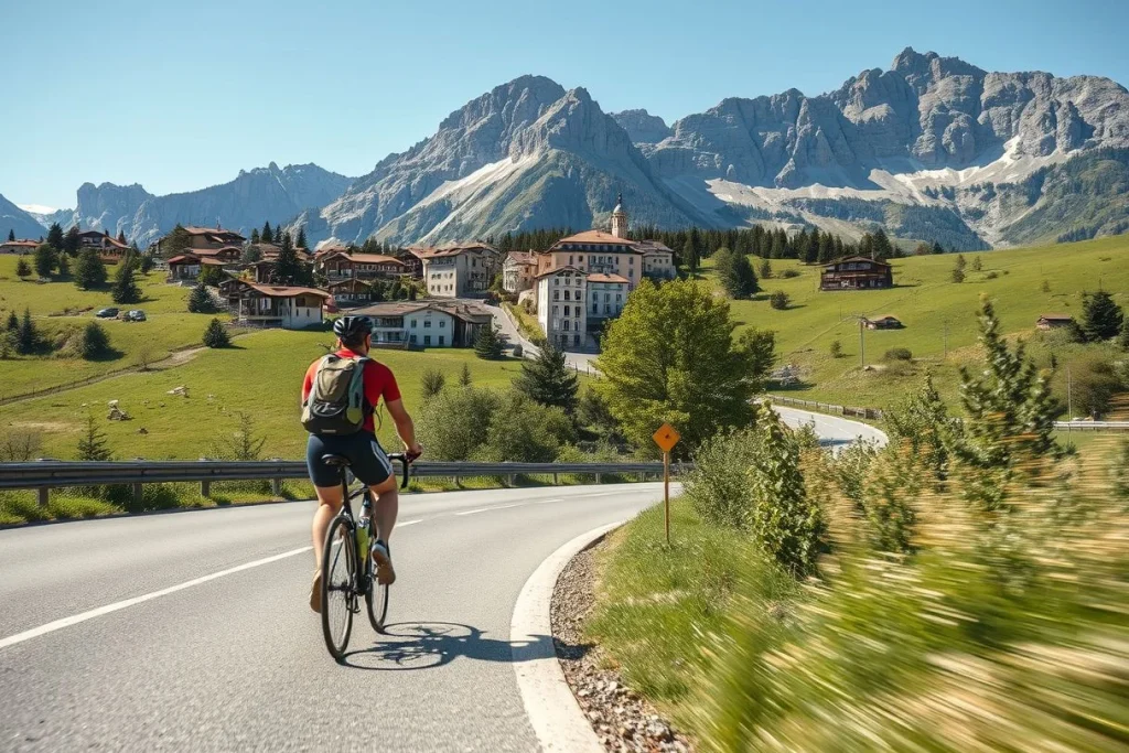
Cyclists should separate a single-pass objective from a touring project. Stelvio or Gavia can be a focused climbing day for riders prepared for sustained gradients, altitude, changing weather and a long descent; support, water and a realistic turnaround plan matter more than the photograph at the summit. The Route des Grandes Alpes, including Col de l’Iseran at approximately 2,770 metres, is better for a multi-day cycling or driving journey through Savoie, with more flexibility to shorten a stage or pause in an Alpine base. A guide can provide pacing, navigation and mechanical backup; independent riding offers more freedom but leaves route changes and rescue planning to you.
For a compact car itinerary, favour the Furka–Grimsel–Susten loop from the Andermatt–Realp area. It concentrates glacier views, engineering features and frequent stopping points, but it only works as planned when all three passes are open. Canton Uri announced Susten’s full 2026 opening for 12 June, while its Furka notice reported staged access in late May; those dates illustrate why a loop needs a current check, not an old itinerary.
Choose by budget and vehicle
A toll-road ticket on Großglockner can buy simpler logistics; a longer French route spreads spending across more fuel, nights and meals. Guided motorcycle or cycling trips cost more than independent travel but purchase local judgement and contingency support. Keep funds for an unplanned night if weather or a closure breaks the schedule.
A small, mechanically sound rental car is usually easier around hairpins than a large SUV. Before booking, confirm rental-company permission, insurance, cross-border travel, trailer or vehicle limits and any temporary restrictions. An independent trip suits travellers who can monitor official notices; guided travel is the safer planning choice when mountain-road experience, navigation or mechanical confidence is limited.
When to go and how to prepare for high Alpine roads
Plan the featured high Alpine passes mainly for June, July and August. That is the strongest general access window, not a guarantee: snow clearance, storms and road repairs decide when a pass is usable. December is not a reliable season for these drives without current confirmation from the relevant road authority.
Use a two-stage check. Around 72 hours before departure, confirm opening status, daily operating hours, temporary closures, construction, one-way or single-lane arrangements, vehicle and trailer limits, night restrictions, event closures, and any requirement for chains or other winter equipment. Check the Großglockner operator’s prices and opening-times page; for the Swiss passes, use Canton Uri’s road-information notices. For Stelvio and Gavia, check ANAS, Enjoy Stelvio National Park and provincial notices. For Iseran and the Route des Grandes Alpes, use the relevant French departmental road-information services.
Repeat the check on the morning you set out. Stelvio and Gavia can close for organised bicycle events, while Swiss notices may introduce construction controls or single-lane working. The 2026 season illustrates why early assumptions fail: Furka opened in stages, and Canton Uri announced Susten Pass fully open only from 12 June.
Above approximately 2,000 metres, temperatures can drop sharply and snow can arrive even in summer. Fill the tank before the high section, then carry warm layers, water, first-aid supplies, basic tools, a charged navigation device and a paper or offline route backup. Use low gears on descents and brake smoothly; never force a pass when visibility, traction or the road surface deteriorates. A maintained vehicle matters more than extra power, and a planned retreat is part of competent mountain driving.
Conclusion: choose your trade-off, then check the road
Choose by the experience you want, not by the highest summit. For a supported first Alpine road trip, take the Großglockner High Alpine Road: its maintained toll-road format, viewpoints and visitor infrastructure make the learning curve more manageable, provided you respect its published operating hours and night-driving restriction. For concentrated variety, base yourself near Andermatt and build the Furka–Grimsel–Susten loop. Choose Stelvio for the signature sequence of 48 hairpins, Col de l’Iseran and the Route des Grandes Alpes for a longer French journey, or Gavia when you already have the experience—and fitness, on a bicycle—to handle a tougher, wilder day.
Once you have chosen the route and a sensible base, check the relevant Großglockner operator information, Canton Uri road notices or Enjoy Stelvio National Park within 72 hours of travel and again before setting out. Confirm opening status, hours, restrictions, weather and event closures. Keep a lower-altitude valley route ready; choosing it is good judgement, not a failed pass attempt.
Frequently asked questions
Can I combine Stelvio and Gavia in one day?
Yes, an experienced driver, motorcyclist or cyclist can plan Stelvio and Gavia as a demanding single-day outing, but it leaves little margin for weather, traffic, stops or road controls. Both passes can face event-related closures, including organised bicycle days, so check Enjoy Stelvio National Park and relevant authority notices before committing. Treat it as a technical day rather than a casual sightseeing drive.
What type of rental car works best on high Alpine roads?
Choose a mechanically sound vehicle that you can place accurately through tight hairpins and narrow sections, rather than selecting on size or power alone. Confirm that the rental agreement permits the intended crossings and check current restrictions for large vehicles, trailers and buses. Before departure, verify road conditions, carry warm layers, water, basic tools and a first-aid kit, and do not assume every rental car is suitable.
Is a motorcycle or car better for experiencing the passes?
Neither is automatically better. A motorcycle can suit riders who specifically want the technical rhythm of hairpins, while a car offers shelter when temperatures drop or snow arrives above approximately 2,000 metres, even in summer. High Alpine roads can have concentrated coach and motorcycle traffic from mid-morning to early afternoon; an early or late run may reduce congestion, provided the road is open and within its operating hours.
How much cycling experience do I need for the major climbs?
The major climbs should be approached as serious mountain rides, not ordinary scenic cycle routes. Stelvio has 48 numbered hairpins and reaches approximately 2,757 metres; Col de l’Iseran reaches approximately 2,770 metres. Build your plan around sustained climbing ability, cold-weather preparation and a conservative turnaround option, and check for organised bicycle days or temporary closures affecting Stelvio and Gavia.
What should I do if weather changes while I am above the tree line?
Treat a sudden temperature drop, snow or worsening visibility as a reason to stop reassessing rather than pressing on for the viewpoint. High-pass conditions can change rapidly, including above approximately 2,000 metres in summer. Use official road-state information, obey temporary controls and turn back if conditions or your vehicle are no longer suitable; carry warm layers, water and a basic first-aid kit.
Are guided Alpine driving tours worth considering for a first trip?
They can be worthwhile if you are inexperienced with steep gradients, tight hairpins, narrow sections or rapidly changing mountain weather, because an independent itinerary leaves you responsible for road checks and decisions. Independent travel suits drivers who are comfortable monitoring official sources and adapting plans. Whichever format you choose, verify opening status, operating hours, restrictions and temporary closures shortly before departure and again within 72 hours of travel.