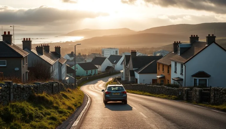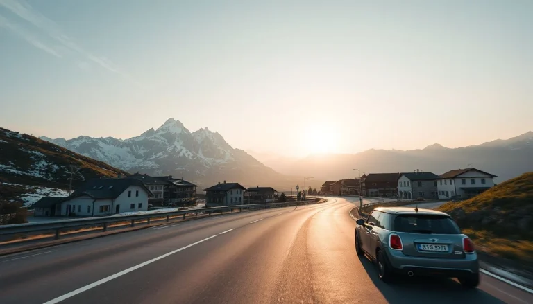
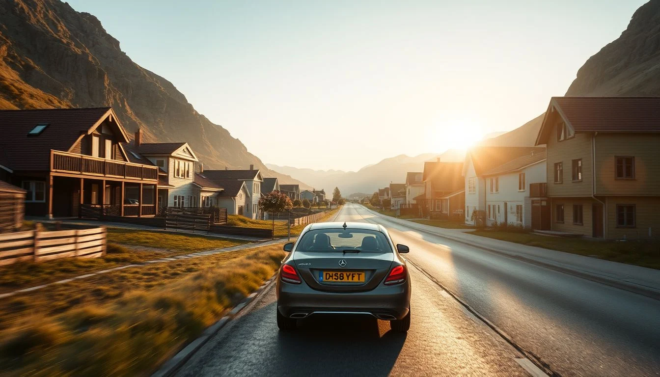
The Atlanterhavsvegen runs 36 km between Bud and Kårvåg, yet its famous bridge-and-islet section takes only around 15–30 minutes to drive without stops. That contrast captures the challenge of a Norway fjords and Atlantic Road road trip: the map can make western Norway look compact, while ferries, hairpins, viewpoints, hikes and weather steadily stretch each day.
This route is designed for adventure travellers who are comfortable with narrow coastal roads, changing conditions and active stops, but it also shows where a guide or organised excursion may be wiser. You’ll find a realistic six-to-eight-day plan linking Ålesund, Geirangerfjord, Trollstigen, Åndalsnes, Molde and the full Atlantic Road, with practical guidance on licences, tolls, car ferries, seasonal closures, accommodation and the difference between a scenic drive and a rushed transfer.
Quick answer: Allow six to eight days to link Ålesund, Geirangerfjord, Trollstigen, Åndalsnes, Molde and the Atlanterhavsvegen at a sensible pace. The full National Tourist Route is 36 km from Bud to Kårvåg, while the iconic bridge section takes about 15–30 minutes without stops; the wider journey is slowed by ferries, viewpoints, hikes and changing weather.
Route overview: a realistic 6–8-day loop from Ålesund to the Atlantic Road
The route works best as a north-western Norway sequence rather than a race between map pins: begin in Ålesund, continue to Geirangerfjord, cross the mountain roads towards Trollstigen and Åndalsnes, then turn towards Molde and the Atlanterhavsvegen. Finish around Hustadvika, Averøy or Kristiansund, depending on whether you want a slower coastal ending or a practical onward connection.
Six days is enough for the principal viewpoints, a fjord cruise and the headline roads, but leaves little room for weather delays or a serious hike. Seven days is the better balance: give Ålesund and Geirangerfjord proper time, sleep in Åndalsnes, and avoid reducing the Atlantic Road to a brief crossing. Choose eight days if Rampestreken, Romsdalen or the coast around Hustadvika deserves an unhurried day of walking and photography.
Keep the Atlantic Road’s scale in perspective. The National Tourist Route Atlanterhavsvegen runs for 36 km between Bud and Kårvåg. Its familiar bridge-and-islet sequence is only an approximately 8.3 km section on County Road 64 and takes about 15–30 minutes to drive without stops; allow substantially longer for viewpoints, short walks and the exposed coastal landscape.
The Geirangerfjord–Trollstigen–Åndalsnes leg is the route’s natural centrepiece. The journey is reported at approximately 86–134 km and 1.5–3 hours before substantial stops, with the exact figure depending on the chosen route; verify it in a live planner and check Statens vegvesen for current conditions.
This Norway fjords and Atlantic Road road trip suits a confident summer driver comfortable with narrow coastal roads, hairpins, changing weather and active stops. It is a poor winter plan for anyone inexperienced on snow and ice; in that case, shorten the independent driving or use a guided excursion for the mountain section.
Car hire and road conditions: licences, ferries, tolls and mountain driving
Before you collect the car
Check your licence before booking. According to Statens vegvesen, most foreign driving licences can be used in Norway for up to three months, but some licences issued outside the EU/EEA—particularly those using a non-Latin script or with non-standard information—also require an International Driving Permit or certified translation. Carry the original licence as well as any supporting document, and verify your particular case with Statens vegvesen before departure.
A compact car is generally the least tiring choice on narrow coastal roads, single-lane bridges and tight parking areas. An automatic can make steep gradients and repeated hairpins easier; a small SUV may give nervous drivers more confidence, but its extra width does not make passing easier. Review the rental company’s insurance terms, crossing permissions and roadside assistance before collecting the keys.
What driving feels like
This is scenic driving, not fast driving. Expect tunnels, steep gradients, narrow sections, limited stopping space and mountain hairpins, with rain or low cloud changing the character of a road quickly. Oncoming traffic may require patience and careful positioning, particularly where the road narrows or a bridge allows only one vehicle at a time.
Use official pullouts and viewpoints for photographs; never stop in the carriageway or just beyond a bend. Build slack into every day rather than trying to recover time on a mountain road. The route is a good fit for drivers already comfortable reversing, meeting traffic on confined roads and continuing cautiously in poor visibility.
Tolls, ferries and electric cars
Norway’s tolls are collected automatically through AutoPASS. Foreign-plate vehicles may receive an invoice unless you register through the current visitor process or an approved provider; rental companies commonly pass on tolls and may add administration charges. Euro Parking Collection explains the foreign-vehicle process, but confirm how your rental company handles registration before leaving the desk.
Short car-ferry crossings can be part of the route rather than an optional detour. Timetables, fares and boarding arrangements vary by route and season, so check the relevant operator on the day and allow for the next sailing if the first is full or missed.
An electric car can suit this itinerary, but do not assume every overnight stop has dependable charging. Confirm live charger availability, current EV toll treatment and the rental company’s battery-return requirement before choosing one; these policies can change.
Independent or guided?
Independent driving gives the strongest access to hikes around Geirangerfjord and Åndalsnes and lets you pause when weather clears. A guide or organised excursion is the calmer option for nervous drivers, travellers outside the main season or anyone unwilling to manage closures, ferries and mountain conditions. High routes such as Trollstigen can close seasonally, for maintenance or safety reasons, so check the latest regional update and Statens vegvesen immediately before setting out.
Stop by stop: Ålesund, Geirangerfjord, Trollstigen and the Atlantic Road
This Norway fjords and Atlantic Road road trip works best as a six- to eight-day route rather than a race between viewpoints. Follow the arc from Ålesund to Geirangerfjord, across Trollstigen to Åndalsnes, then west through Molde and the Atlanterhavsvegen; ferries, mountain weather and active stops make map distances deceptive.
Morning
Days 1–2: Ålesund to Geirangerfjord
Begin in Ålesund with a walk through the Jugendstil centre and the climb to Aksla viewpoint. It is a useful first morning for adjusting to the rental car before tackling narrower roads. Stay in Ålesund on the first night, particularly if your flight arrives late or the weather is unsettled.
On day two, drive towards Geirangerfjord using the route and car-ferry combination confirmed in live navigation. Allow roughly 2–4 hours including relevant ferry segments, but do not treat that as a fixed timetable: sailings, queues, roadworks and weather can change the day. Confirm ferry departures and fares before leaving.
Use the afternoon for Geirangerfjord itself rather than continuing immediately. A fjord cruise gives a different perspective on the waterfalls and steep valley walls, while Flydalsjuvet and Dalsnibba provide contrasting viewpoints. Dalsnibba is a high-altitude excursion, so check access and conditions before committing to it. Overnight in or near Geiranger.
Days 3–4: Trollstigen and Åndalsnes
Make day three the route’s mountain-driving centrepiece. The Geiranger–Åndalsnes journey via Trollstigen is reported at approximately 86–134 km and 1.5–3 hours before substantial stops, depending on the route; use a live planner on the morning itself. The road’s hairpins demand low speeds, patience when meeting larger vehicles and a willingness to wait at passing places. Stop only at signed viewpoints or official pullouts.
Allow time at the Trollstigen plateau for the viewpoint and short walks, but check its status first through Statens vegvesen and the latest information from Visit Northwest. High mountain roads can close for winter, maintenance or safety reasons. If Trollstigen is shut, do not improvise a difficult mountain alternative without checking conditions.
Use Åndalsnes as your base for day four. Fit in Rampestreken if you are comfortable with a steep, exposed uphill walk and have dry weather, proper footwear and enough daylight. A gentler Romsdalen walk or a visit towards Trollveggen works better after rain, with tired legs or a heavy pack. Åndalsnes is the most practical overnight stop for active travellers; it also gives less confident drivers a recovery day instead of another long transfer.
Afternoon
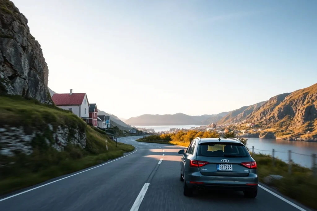
Days 5–6: Åndalsnes, Molde and the coast
On day five, drive from Åndalsnes towards Molde and use the town as either a lunch stop or an overnight base. Keep this day deliberately lighter after the mountain section. Molde is also a sensible place to reorganise food, fuel and charging before the more exposed coastal roads.
Continue towards the Atlantic Road on day six, stopping around the coastal viewpoints rather than aiming straight for the famous bridges. Depending on your pace, stay near Hustadvika or Averøy. This avoids turning the Atlantic Road into a short photo stop and leaves room for wind, rain and short walks beside the coast.
Days 7–8: the full Atlanterhavsvegen
Drive the full 36 km National Tourist Route Atlanterhavsvegen from Bud to Kårvåg on day seven. The route links a coastal cultural landscape through places including Vevang and Kårvåg; use the official Nasjonale turistveger information to plan the viewpoints and current access.
Do not confuse the full route with the iconic bridge-and-islet section. That shorter section is commonly described as approximately 8.3 km on County Road 64 and takes around 15–30 minutes to drive without stops, according to the Atlantic Road route guide. The proper road-trip version needs substantially longer for viewpoints, weather pauses and walks.
Day eight is an optional slow coastal day or a convenient endpoint in Kristiansund, especially if you are continuing north. For a six-day version, combine Ålesund sightseeing with the first transfer, make Åndalsnes a one-night stop and treat Molde as a brief pause. For eight days, keep both Åndalsnes and Hustadvika or Averøy as full bases.
Evening
Keep evenings close to the overnight base. Geiranger suits an early dinner after a cruise or viewpoint day; Åndalsnes is better used for an early night before an active walk. On the coast, choose a cabin, guesthouse or hotel near the next morning’s route rather than crossing back into a larger town.
Late summer evenings offer useful daylight, but by May and mid-September conditions become less predictable, while October through winter is not a routine window for this mountain-road itinerary. In the main June-to-early-September season, still check Yr or MET Norway before a hike and each morning’s driving conditions.
Where to eat

Use Ålesund and Molde for the widest choice of cafés, bakeries and supermarkets. In Geiranger, Åndalsnes and the smaller coastal settlements, shop for a picnic before leaving town and carry water and waterproof layers; services are more limited outside the main centres. Look for Norwegian staples such as open sandwiches, fish soup, salmon and brown cheese, with a packed lunch particularly useful on the Trollstigen and Atlantic Road days.
Getting around
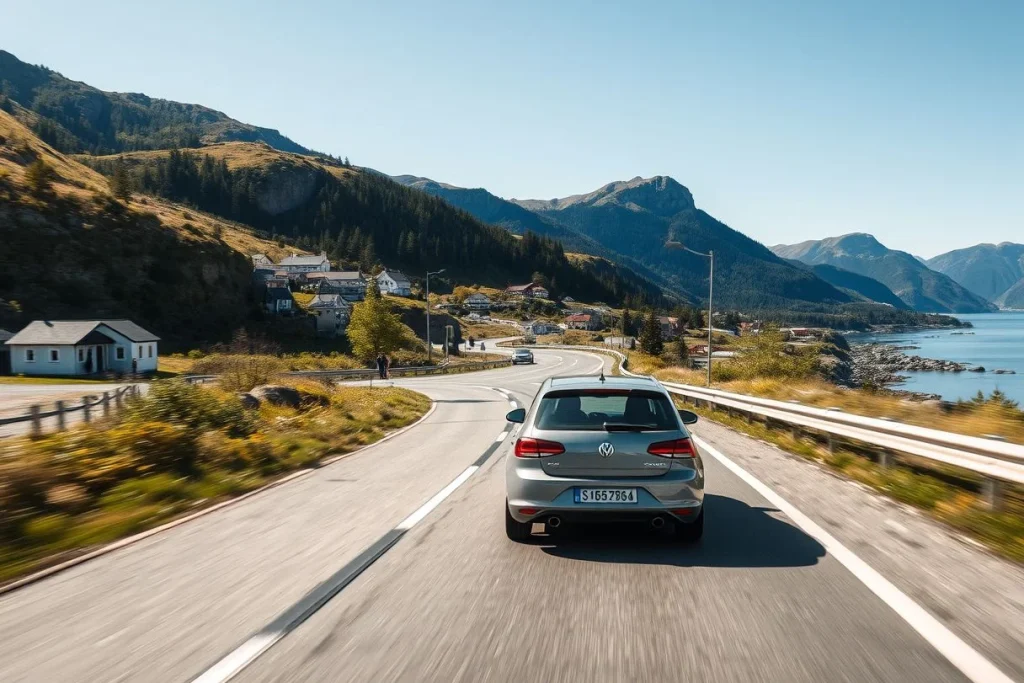
A rental car is the practical choice, but this is not an effortless driving route. Expect narrow sections, hairpins, single-lane bridges, sudden rain and short car-ferry crossings. Ferries are part of the route’s rhythm, not a minor detail: check the relevant sailing, fare and boarding arrangements before departure.
Norway’s tolls are collected automatically through AutoPASS. Foreign-plate vehicles may be invoiced unless you use the current visitor process or an approved provider; rental companies commonly pass on tolls and administration charges. Ask the rental company how tolls, ferry payments, charging and battery return are handled before collecting the car.
Independent driving suits people comfortable reversing or waiting on narrow roads and adjusting plans without stress. A guided excursion or organised transfer is the better choice for nervous drivers, winter travel, or anyone who does not want to manage road closures, ferries and changing mountain conditions.
Estimated time
| Part of the route | Practical allocation |
|---|---|
| Driving and ferries | About 2–5 hours on transfer days, with live routing required |
| Viewpoints and scenic stops | Two to four hours, depending on weather and crowds |
| Hikes or fjord cruise | Half a day to a full day |
| Meals, fuel, charging and rest | Two to three hours daily |
Optional extras
- For stronger hikers: give Åndalsnes an extra day for Rampestreken or a longer Romsdalen route, checking terrain, daylight and weather before setting out.
- For wet or low-cloud weather: reduce viewpoint chasing and use Ålesund, Molde or Kristiansund as slower cultural and food stops.
- For cautious drivers: remove the tightest seasonal mountain section rather than forcing Trollstigen, and use a guided fjord or scenic-road excursion instead.
Best time to visit: when Trollstigen and the coastal viewpoints work best
Plan this Norway fjords and Atlantic Road road trip for mid-June to early September. That’s the most practical window for linking Geirangerfjord, Trollstigen, Åndalsnes and Atlanterhavsvegen, since high mountain roads open seasonally and may close for winter, maintenance or safety reasons. Allow six to eight days so weather delays or a missed ferry don’t turn every scenic stop into a rushed transfer.
July and August usually bring the warmest conditions and long daylight for hikes and viewpoints, including the 36 km Atlanterhavsvegen between Bud and Kårvåg. Visitor pressure is also highest then, so reserve accommodation early and start driving before the day’s main sightseeing traffic. Long daylight gives you more flexibility; it doesn’t make narrow roads, wet rock or mountain hairpins safe in poor conditions.
For a quieter drive, choose mid-June or mid-September if you’re a confident driver who can accept a less predictable forecast. May and September need particular care: Trollstigen and other high routes may not be open for the whole period, while roadworks or weather can change the plan. Check route status and closures with Visit Northwest’s Trollstigen updates, then verify conditions through Statens vegvesen immediately before setting out.
December isn’t a sensible choice for this specific mountain-road itinerary, even though winter travel is possible elsewhere in Norway. Snow and ice require winter tyres, experience on Norwegian winter roads and shorter daylight planning; you’ll also need to confirm that every relevant road is open. The route isn’t suitable for inexperienced winter drivers. Whatever the season, check Yr or MET Norway shortly before each driving day and carry waterproof, warm layers: western Norway can bring heavy rain and rapid changes even in summer.
Travel costs: 2026 budget, mid-range and comfortable planning
A Norway fjords and Atlantic Road road trip has three separate cost layers: the vehicle, overnight stays and route overheads. The figures below are sourced estimates, not a fixed seven-day package price; they exclude fuel or charging, food, cruises, parking, insurance excess and optional guided activities.
Estimated costs — 2026 market snapshot

| Cost | Budget | Mid-range | Luxury |
|---|---|---|---|
| Rental vehicle, per day | NOK 600–1,200 for a small car in low season | NOK 1,200–2,500 for a mid-size car or SUV in summer | Not supported by the cited estimate |
| Accommodation, per night | NOK 400–900 for a hostel, campsite or basic guesthouse | NOK 1,200–2,500 for a 3-star hotel or cabin | NOK 3,000–6,000+ for a boutique hotel or fjord lodge |
| Tolls and car ferries, whole week | Allow several hundred NOK | Several hundred NOK, depending on the route | Not separately supported |
These are the 2026 rental-market estimates and 2026 accommodation and route-cost guidance; rental rates vary by season, collection point, vehicle and rental terms. The toll-and-ferry allowance is a planning guide rather than a tariff: Norway’s automated AutoPASS system, the number of crossings and the rental company’s administration charge can all change the final bill.
For a live budget, price the exact car and dates first, then check ferry fares and timetables for each planned crossing. Confirm the rental firm’s policy on toll invoicing, insurance excess, charging or fuel return, and add any Geirangerfjord cruise, parking and guided mountain activity separately.
| Item | Budget | Mid-range | Luxury |
|---|---|---|---|
| Small rental car | NOK 600–1,200 per day | NOK 1,200–2,500 per day for a mid-size car or SUV in summer | Not supported by the cited source |
| Road tolls and ferry crossings | Allow several hundred NOK in combined tolls and ferry fares over a week-long loop | Several hundred NOK over a week-long loop, with the final amount depending on route, vehicle and crossings | Not supported by the cited source |
| Accommodation | NOK 400–900 per night for hostels, campsites, basic guesthouses or similar | NOK 1,200–2,500 per night for 3-star hotels or cabins | NOK 3,000–6,000+ per night for boutique hotels or fjord lodges |
Estimated ranges based on the sources listed below. Prices change; check with providers before booking.
Travel tips: ferries, forecasts, viewpoints and gear that save the day
Before departure
- Check your licence before booking. Most foreign licences can be used in Norway for up to three months, but some non-Latin or non-standard documents require an International Driving Permit or certified translation; confirm your position with Statens vegvesen. Check the rental insurance excess, permitted drivers and roadside assistance too.
- Reserve July and August stays early. Ålesund, Geiranger, Åndalsnes and the Atlantic coast can make a flexible itinerary awkward in the busiest summer weeks. Keep at least one night in or near Åndalsnes if Rampestreken or a Romsdalen hike is a priority.
- Understand the toll and ferry arrangements. Ask the rental company whether it registers the car for AutoPASS, how foreign tolls are invoiced and what administration fee applies. Confirm each car-ferry timetable, fare and vehicle-length category before setting out; these details vary by route and season.
Each morning
- Recheck the road, not just the route. Look at Statens vegvesen for closures, roadworks and high-mountain access, then check Yr or MET Norway for rain and wind. Trollstigen opens seasonally and can close for weather, maintenance or safety reasons, so recalculate navigation time on the day rather than trusting yesterday’s estimate.
- Build in a generous margin. A short map distance can become a full day after a ferry queue, a viewpoint stop, a slow hairpin section and a sudden weather change. The 15–30-minute drive across the iconic Atlantic Road bridge section is only the crossing; the wider Atlanterhavsvegen and its viewpoints deserve a slower schedule.
On the road and at active stops

- Pack for wet weather even in summer. Carry a waterproof shell, warm layers, spare dry clothing, sturdy shoes, water and snacks, plus offline navigation in case reception drops. You do not need mountaineering equipment for every stop, but ordinary trainers are a poor choice on wet, uneven paths.
- Drive defensively on the narrow sections. Reduce speed before hairpins, let oncoming traffic pass at suitable wider points and use only official pullouts for photographs. Never stop on the road or assume an empty-looking scenic route will remain clear.
- Match hikes to the group’s energy and conditions. Rampestreken adds a steep, active outing rather than a quick viewpoint visit. If weather, fitness or footing is uncertain, choose an easier viewpoint or book a guided Romsdalen activity instead of turning a scenic drive into a pressured hike.
- Give an electric car more planning time. Check live chargers along the exact route, charging duration and the rental company’s battery-return rule. EV toll treatment and discounts can change, so confirm the current policy before collecting the car.
Do not treat this as a routine winter holiday if you are a first-time mountain driver. Snow and ice demand suitable winter tyres, local experience and route-specific checks; use the official road information before committing to any high route.
Conclusion: choose the seven-day version, then verify the road
Choose seven days for the most balanced Norway fjords and Atlantic Road road trip: enough time for Geirangerfjord, Trollstigen, an active stay in Åndalsnes and the full 36 km Atlanterhavsvegen, rather than only its bridge section. Aim for mid-June to early September, when the mountain route and coastal viewpoints are most likely to fit a workable plan, while allowing for changing conditions.
Confident drivers who are comfortable with hairpins, narrow roads and ferry logistics should book the independent route. Less experienced drivers, or travellers visiting in the shoulder season, should shorten the itinerary or choose a guided excursion. Start by selecting dates, then check Trollstigen and ferry status, price a seven-day rental and reserve cancellable bases in Ålesund, Geiranger, Åndalsnes and the Atlantic coast area.
Frequently asked questions
Can I drive the Atlantic Road in a single afternoon?
Yes, if you mean the iconic bridge-and-islet section: the crossing itself takes approximately 15–30 minutes without stops, according to Atlantic-road.com. That is not the full experience. The National Tourist Route Atlanterhavsvegen runs 36 km between Bud and Kårvåg, and its viewpoints and coastal landscape need substantially longer. Treat a single afternoon as the minimum for the short section, not the whole route.
How much time should I allow for a fjord cruise at Geiranger?
The supplied route guidance does not give a fixed cruise duration, and schedules vary by date and operator. Plan Geirangerfjord as more than a brief photo stop: Norwaytourism.org recommends building time for a fjord cruise alongside Flydalsjuvet and Dalsnibba. Check the current operator timetable before booking, then leave enough flexibility for ferry connections, viewpoints and changing weather.
Is an electric car practical for this itinerary?
An electric car may work, but the route material does not confirm charging availability or a universal toll advantage along this itinerary. Before booking, check live chargers for every overnight stop, the rental company’s battery-return policy and its rules for charging costs. Also verify current EV toll treatment, since these arrangements can change, as advised by the visitor guidance from Tesla Owners UK.
What should I do if Trollstigen is closed?
Do not treat Trollstigen as guaranteed access. High mountain roads can close for winter, maintenance or safety reasons, so check Statens vegvesen immediately before setting out and recalculate the route with a live planner. If it is closed, keep the itinerary flexible around Geirangerfjord, Åndalsnes, Molde or the Atlantic Road rather than attempting an improvised mountain crossing; the available route advice does not prescribe a single replacement.
Are there enough short walks for travellers who do not want demanding hikes?
Yes, the itinerary can be built around viewpoints and short walks rather than strenuous hikes. The route guidance specifically recommends adding viewpoints and short walks along the 36 km Atlanterhavsvegen, while Geirangerfjord includes accessible viewing stops such as Flydalsjuvet and Dalsnibba. Åndalsnes offers more active options around Romsdalen, Rampestreken and Trollveggen, so choose that base only if you want a stronger outdoor emphasis.
Would a guided tour be better than driving independently?
Independent driving suits travellers comfortable with narrow coastal roads, hairpins, changing weather and short-to-medium driving days. It gives you more control over viewpoints, walks and overnight stops, but requires checking ferries, tolls, roadworks and closures yourself. A guided excursion is the more sensible choice if mountain driving or route planning feels uncomfortable; the route’s hazards are real, and winter is unsuitable for inexperienced snow-and-ice drivers.