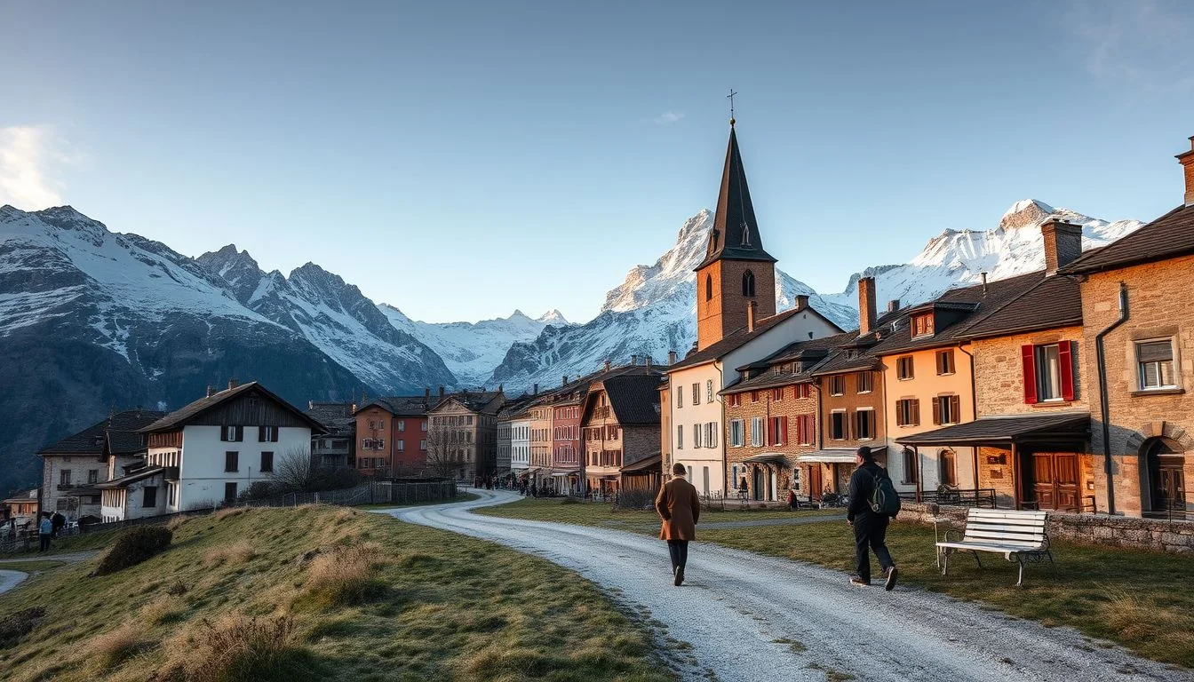
The classic Tour du Mont Blanc traces roughly 170–180 km through France, Italy and Switzerland, with around 9,000–10,000 m of ascent before returning to the Chamonix valley. High points such as the Col de la Seigne and Grand Col Ferret can turn a straightforward-looking stage into a serious mountain day, particularly when snow or fast-changing weather affects the route.
This guide is for self-guided hikers who want a comfortable 10-day TMB hut-to-hut itinerary rather than a forced seven-day circuit. It sets out where to sleep, when to use valley transport, how to balance refuges with hotels, and where to keep time for weather or tired legs. You’ll also find practical planning guidance for the Geneva to Chamonix transfer, refuge bookings, cross-border identification, food, navigation and the main high-pass decisions. The route is planned counter-clockwise from Les Houches, with realistic flexibility built in rather than treating every stage as fixed.
Quick answer: A comfortable 10-day Tour du Mont Blanc itinerary can run counter-clockwise from Les Houches through Les Contamines-Montjoie, Les Chapieux, Courmayeur, Val Ferret, La Fouly, Champex-Lac, Trient and the Col de Balme area before finishing near Chamonix or Les Houches. Reserve the final day as a weather or recovery buffer: the classic circuit is approximately 170–180 km with about 9,000–10,000 m of ascent, and conditions on high passes can change quickly.
Itinerary at a glance: the comfortable 10-day circuit
Use this as a planning framework, not a fixed mileage schedule. The classic route is commonly divided into stages of roughly 12–22 km and five to nine hours of walking, but variants, transport and refuge locations change the figures. Check the selected TMB Trail Guide or current local mapping before booking each night.
| Day | Route | Country or area | Approximate walking window | Difficulty emphasis | Overnight base |
|---|---|---|---|---|---|
| 1 | Les Houches–Les Contamines-Montjoie | France | 5–7 hours | Manageable opening stage | Les Contamines-Montjoie |
| 2 | Les Contamines–Les Chapieux or Col de la Croix du Bonhomme area | France | 7–9 hours | Long climb and first high-pass day | Les Chapieux or mountain refuge |
| 3 | Les Chapieux–Courmayeur via Col de la Seigne | France to Italy | 6–9 hours | Major international crossing | Courmayeur |
| 4 | Courmayeur–Val Ferret or Rifugio Walter Bonatti | Italy | 5–8 hours | Scenic ridge and valley pacing | Val Ferret or Rifugio Walter Bonatti |
| 5 | Val Ferret–La Fouly via Grand Col Ferret | Italy to Switzerland | 6–9 hours | Highest named col, at about 2,537m | La Fouly |
| 6 | La Fouly–Champex-Lac | Switzerland | 5–7 hours | Recovery-focused valley stage | Champex-Lac |
| 7 | Champex-Lac–Trient | Switzerland | 5–8 hours | Flexible route variants | Trient |
| 8 | Trient–Col de Balme area | Switzerland to France | 6–8 hours | High viewpoint and weather exposure | Col de Balme area |
| 9 | Col de Balme–Chamonix or Les Houches | France | 5–7 hours | Final descent and finish options | Chamonix or Les Houches |
| 10 | Buffer, recovery or delayed finish | Chamonix valley | Flexible | Protects against storms and fatigue | Chamonix or onward travel |
These windows are deliberately broad: the route’s total ascent is commonly estimated at about 9,000–10,000m, and high-pass conditions can force a slower plan or a route change. Treat Day 10 as part of the itinerary rather than spare time to remove at the first booking opportunity.
Before you go: bookings, passes and arrival logistics
Choose the season carefully
Plan the Tour du Mont Blanc for roughly mid-June to mid- or late September, but treat that as a planning window rather than a promise of safe conditions. Snow can remain on high passes such as the Grand Col Ferret, at approximately 2,537m, outside the core summer period, while storms and poor visibility can develop quickly at any time. July and August are the busiest months; June may offer quieter trails but requires particularly careful checks of pass conditions and refuge openings.
Before committing to dates, check the latest reports from MeteoFrance and MeteoSwiss, then ask refuge keepers about snow, ice and route alternatives. Verify each refuge’s opening dates, booking policy, demi-pension tariff and cancellation terms directly. Half-board commonly covers a dormitory bed, dinner and breakfast; picnic lunches and snacks may be available, but do not assume every hut can supply them.
Book the route, not just the nights
Reserve accommodation in sequence before arrival, particularly around Les Contamines-Montjoie, Les Chapieux, Courmayeur, Val Ferret and the Grand Col Ferret crossing. This ten-day plan uses a mixture of mountain refuges and valley stops, so keep the booking pattern flexible enough to move a night if weather closes a pass. Confirm whether a refuge accepts late changes, and save its contact details offline.
The route crosses France, Italy and Switzerland through informal international borders. The TMB itself is not presented as requiring a special mountain permit, but the GOV.UK Foreign travel advice for France, updated 15 September 2026, advises travellers to check the rules that apply to their nationality. Non-Schengen visitors should verify the applicable Schengen conditions, including the commonly applicable 90-days-in-180-days limit, and everyone should carry a passport or national ID because checks are possible.
Arrive in the Chamonix valley
From Geneva Airport, direct coaches to Chamonix generally take about 1.5–2 hours. Operators listed for the route include AlpyBus, Swiss Tours, FlixBus, Altibus and Ben’s Bus; compare the live timetable and booking conditions before choosing a flight. The Mont Blanc Express offers a scenic rail alternative via St-Gervais for travellers arriving by French train.
Arrange a night in Les Houches if your arrival is late or you want to start rested. Do not build the first trail morning around a tight airport connection: collect food, check the forecast and confirm the trailhead locally before setting out.
Pre-departure checklist
- Buy mountain travel insurance that covers hiking at the elevations and across the countries on your route.
- Save emergency numbers, refuge contacts and your accommodation bookings on your phone and on paper.
- Download offline maps and carry a power bank; reception can be patchy on high passes.
- Check MeteoFrance and MeteoSwiss immediately before each major crossing.
- Confirm buses, lifts and any shortcut transport on the official operator or local tourism website.
- Check national travel advice for strikes, border disruption and other changes before departure.
Day by day: a comfortable counter-clockwise route
This comfortable 10-day Tour du Mont Blanc itinerary follows the classic counter-clockwise circuit from Les Houches through France, Italy and Switzerland, then back towards Chamonix. The full route is approximately 170–180 km with around 9,000–10,000 m of ascent; individual variants change the figures, but typical stages take roughly 5–9 hours and cover about 12–22 km. The final day is deliberately a buffer rather than another forced mountain crossing.
Morning
Day 1: Les Houches to Les Contamines-Montjoie
Start at Les Houches and settle into the route with a manageable French-side stage. The trail introduces the rhythm of the TMB without using your strongest day immediately: climb steadily, take a proper lunch break, and arrive in Les Contamines-Montjoie with time to check the next day’s weather.
Stay in the village for easier food, showers and supplies, or choose a refuge farther along the route if you want to position yourself closer to the first pass. The valley night is the more comfortable choice for a self-guided itinerary, particularly after travelling from Geneva Airport to Chamonix.
Day 2: Les Contamines-Montjoie to Les Chapieux or the Col de la Croix du Bonhomme area
Begin early for the demanding ascent towards the Col du Bonhomme and, depending on your chosen stage, the Col de la Croix du Bonhomme area. This is the first day where elevation gain, exposed terrain and changing weather can make the route feel distinctly alpine. Keep a waterproof layer accessible, not buried in your pack.
Sleeping at Les Chapieux gives the following day a clearer start and more flexibility. A refuge near the Col de la Croix du Bonhomme shortens the next stage but leaves you higher and more exposed if fog, wind or snow arrives. Ask the refuge keeper about conditions before committing to the pass section.
Day 3: Les Chapieux to Courmayeur via the Col de la Seigne
Cross from France into Italy over the Col de la Seigne. This is one of the route’s defining stages, so leave enough daylight for the climb, the pass and the descent towards the Italian side. Do not treat the border crossing as a formality: carry your passport or identity document, since checks are possible on this informal international route.
Courmayeur is the better overnight base if you value a proper recovery evening, food choice and resupply. A refuge stop gives a more immersive hut-to-hut experience and avoids descending fully into town, but it offers less flexibility if the weather delays you.
Afternoon
Day 4: Courmayeur to Val Ferret or Rifugio Walter Bonatti
Use this as a scenic Italian stage rather than a race to the next bed. The route moves from Courmayeur towards Val Ferret, with Rifugio Walter Bonatti a logical mountain overnight for hikers who want a classic refuge setting. A valley night is easier on tired legs and gives you more access to meals, charging and supplies.
Local transport may shorten part of the approach, depending on the season and the section you choose. Check the current bus or lift timetable on the official local transport or tourism website; do not build the day around an assumed connection.
Day 5: Val Ferret to La Fouly via Grand Col Ferret
Cross the Grand Col Ferret, approximately 2,537 m, for the transition from Italy into Switzerland. Snow can remain on this high section outside the core summer window, and cloud or storms can reduce visibility quickly. Start early, check current reports, and turn back or use a lower alternative if conditions are beyond your equipment and experience.
Continue to La Fouly if the pass is clear and your pace is steady. Rifugio Elena is the sensible alternative when conditions, fatigue or refuge availability make the full stage impractical. It also creates a safer decision point than pressing on late in the day.
Day 6: La Fouly to Champex-Lac
Keep this Swiss valley stage deliberately slower. After two major crossings, the priority is recovery: walk at a sustainable pace, stop for a substantial lunch, and use Champex-Lac for food resupply and equipment checks. It is a good night to choose an inn or hotel if your budget allows, rather than automatically selecting another dormitory.
Half-board at a refuge normally includes accommodation, dinner and breakfast, while picnic lunches and snacks may be available at huts or in villages. Confirm what is included when booking, especially if you need a packed lunch for the next stage.
Day 7: Champex-Lac to Trient
Choose the standard valley route or a marked variant according to energy, weather and current trail information. The important planning decision is not to select a longer alternative simply because it appears more scenic on a map: after six walking days, a shorter, well-marked route can preserve the quality of the final approach.
Arrive in Trient with time to dry clothing, charge navigation devices and review the Col de Balme forecast. Book the night ahead rather than relying on an improvised arrival during the busy summer period.
Evening
Day 8: Trient to the Col de Balme area
This is the final high viewpoint section before the route bends back towards the Chamonix valley. Leave Trient early and keep margin for slow ground, poor visibility or a necessary retreat. Seasonal lifts or other transport alternatives may help in some years, but verify operation before departure and never use a closed service as part of your safety plan.
Day 9: Col de Balme area to Chamonix or Les Houches
Descend towards the valley and decide where the journey should finish. Les Houches is the practical route endpoint for a strict circuit; Chamonix is the better choice for restaurants, laundry, onward transport and a comfortable final night. If your legs are tired, finish the walking in Les Houches and use local transport into Chamonix rather than adding an unnecessary valley section.
Day 10: Weather, recovery or transfer buffer
Protect this day from the beginning. Use it for a delayed pass crossing, a shortened stage, poor weather, tired legs or a late Geneva transfer. If the route has run smoothly, enjoy a slow Chamonix morning instead of inventing extra mileage. A comfortable 9–11-day framework is more realistic than compressing every contingency into the scheduled stages.
Where to eat
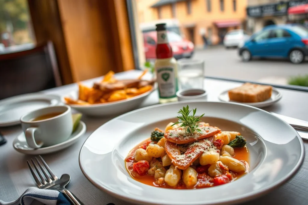
Choose mountain refuge half-board when simplicity matters: dinner and breakfast are usually included, and huts may sell picnic provisions. Valley nights in Les Contamines-Montjoie, Courmayeur, La Fouly, Champex-Lac and Chamonix give more choice and better opportunities to resupply. Carry reliable snacks for the high passes; village access is not guaranteed between stages.
Getting around
Walk the main circuit and use local buses or lifts only as verified, optional adjustments. For the approach, direct Geneva Airport–Chamonix coaches generally take approximately 1.5–2 hours; operators include AlpyBus, Swiss Tours, FlixBus, Altibus and Ben’s Bus. French rail travellers can also approach via the Mont Blanc Express through St-Gervais. Check timetables and disruption notices shortly before travel.
Estimated time
| Part of the day | Planning allowance |
|---|---|
| Walking | Typically 5–9 hours on full stages; route variants change the total. |
| Meals and breaks | Allow a proper lunch stop and several short weather, water and navigation checks. |
| Transit | Keep transfers optional and verify each current timetable. |
| Buffer | Reserve Day 10, plus daylight margin on every high-pass crossing. |
Optional extras
- More comfort: add valley hotels in Courmayeur, Champex-Lac and Chamonix, accepting more walking or local transport between the route and accommodation.
- More hut authenticity: replace selected valley nights with refuges, but book early and confirm opening dates and demi-pension tariffs directly.
- Bad weather or early season: postpone Col de la Seigne or Grand Col Ferret, consult refuge keepers, and follow current MeteoFrance and MeteoSwiss reports rather than a fixed itinerary.
Where to stay: refuges, valley villages and comfort trade-offs
Choose your overnight style
Hut-to-hut purists should prioritise mountain refuges close to the route: the Col de la Croix du Bonhomme area, the Col de la Seigne crossing, Rifugio Walter Bonatti, Rifugio Elena and the Grand Col Ferret approach. This keeps each morning’s walk direct and gives the itinerary its classic alpine character. Refuge half-board commonly includes a dormitory bed, dinner and breakfast; picnic lunches and snacks may also be available, according to Mont Blanc Experience.
Do not assume that every refuge follows the same timetable or meal policy. Check the 2026 opening dates, booking terms, dinner arrangements and demi-pension tariff directly with each refuge before fixing the rest of the route. The most strategically important reservations are around the two high crossings and at Bonatti or Elena, where changing to a valley night can alter the following day considerably.
Best for first-time alpine hikers
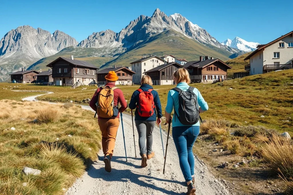
Use valley accommodation in Les Contamines-Montjoie, Courmayeur, La Fouly, Champex-Lac or Trient. These bases make it easier to arrange a proper meal, refill supplies, shower and review the next high section without committing to another communal hut night. The trade-off is practical rather than scenic: a valley stay can add walking or require local transport between the trail and your room.
Courmayeur is particularly useful after crossing from France via the Col de la Seigne, while La Fouly and Champex-Lac provide sensible recovery points before the later Swiss stages. For a first TMB, alternating refuges with valley nights is more forgiving than planning every night at altitude.
For privacy and recovery
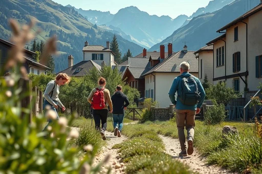
Couples and hikers who sleep poorly in dormitories should reserve private rooms in Courmayeur, Champex-Lac, Chamonix or Les Houches, then keep only the most scenic refuge nights. A final night in Chamonix or Les Houches also gives you a comfortable place to dry equipment, replace food and absorb a delayed finish before onward travel.
Hikers using luggage forwarding should favour valley hotels in Les Contamines-Montjoie, Courmayeur, La Fouly and Champex-Lac, and confirm that the provider serves every booked address. Remote refuges such as Rifugio Walter Bonatti and Rifugio Elena may not accept forwarded bags, so carry the equipment needed for each hut section. For a useful overview of route stages and accommodation patterns, compare the planning guidance from HikeLoad, then verify every booking with the accommodation itself.
Travel costs: 2026 budget, mid-range and luxury benchmarks
For a 10-day Tour du Mont Blanc itinerary, accommodation is the largest variable. A hut-heavy route keeps the structure simple, while valley hotels add privacy and easier access to showers, laundry and food. The figures below are 2026 planning benchmarks, not fixed quotes: HikeLoad’s 2026 guide supplies the refuge, luggage and full-trip ranges; Mont Blanc Experience supplies the valley-hotel benchmark; and Omio’s Geneva–Chamonix listing supplies the coach range.
| Estimated item (2026 basis) | Budget | Mid-range | Luxury |
|---|---|---|---|
| Mountain refuge half-board Per person, per night | About €60 | About €90 | About €120 |
| Valley hotel Per double room, per night | About €80 | About €120–€250 in high season | Not specified |
| Geneva Airport–Chamonix coach Per passenger, one way | About €16 | About €16–€45 | Not specified |
| Luggage forwarding Per bag, per day | About €8 | About €8–€20 | About €20 |
| Full self-guided TMB benchmark Per person; 11-day comparison | About €700–€1,000 | About €1,200–€2,000 | €2,500+ |
Basis: 2026 estimates from HikeLoad’s 2026 guide, Mont Blanc Experience and Omio’s Geneva–Chamonix listing. The full-trip benchmark is for 11 days, so it will not map exactly to this 10-day plan, and it excludes unspecified international travel costs.
Half-board usually covers a dormitory bed, dinner and breakfast; picnic lunches and snacks are separate. Add travel insurance, equipment, food bought in villages, local buses, any lift shortcuts and possible transfer costs. Luggage forwarding is charged per bag per day and may not cover remote huts, so confirm the route and every delivery address with the provider before paying. Check current refuge tariffs, coach fares and luggage coverage directly with the operator before departure.
| Item | Budget | Mid-range | Luxury |
|---|---|---|---|
| Mountain refuge half-board | €60 per person per night | €90 per person per night | €120 per person per night |
| Valley hotel accommodation | €80 per double room per night | €120–€250 per double room per night in high season | Not specified by the source |
| Geneva Airport to Chamonix coach | €16 one way | €16–€45 one way | Not specified by the source |
| Luggage forwarding | €8 per bag per day | €8–€20 per bag per day | €20 per bag per day |
| Full 11-day self-guided TMB trip | €700–€1,000 per person | €1,200–€2,000 per person | €2,500+ per person |
Estimated ranges based on the sources listed below. Prices change; check with providers before booking.
Travel tips: navigation, weather and high-pass safety
Self-guided hikers should treat the itinerary as a framework, not a promise. Typical stages take around five to nine hours, with roughly 700–1,000 m of ascent; the comfortable pace described here works because it leaves room to slow down when the mountain demands it.
- Carry two navigation systems. Download the route for offline use, carry a paper map and compass, and keep a power bank with your phone; mobile reception can be unreliable on high passes and in valleys.
- Make a conditions check before every high crossing. Consult MeteoFrance and MeteoSwiss, then ask the relevant refuge keeper or local trail office about Col de la Seigne, Col du Bonhomme, Col de la Croix du Bonhomme, Grand Col Ferret and Col de Balme. Snow can remain on Grand Col Ferret, at approximately 2,537 m, outside the core summer period, and mountain weather changes quickly, as noted by Happy Tracks in June 2026.
- Change the plan when conditions deteriorate. Delay a crossing, use a verified lower route or take an available transport alternative; never push through thunderstorms, fresh snow, poor visibility or a closure simply to reach the booked refuge.
- Start early on ascent-heavy days. The route repeatedly asks for substantial climbing, so use refuge breakfasts, keep a steady pace, and take short, regular rests rather than waiting until fatigue is severe. Trekking poles reduce strain on long descents and loose ground.
- Pack for wet and cold conditions even in summer. A waterproof shell and trousers, warm layers, hat, gloves, sun protection and a headtorch belong in the daypack, alongside blister treatment, basic first aid and enough water for the next reliable refill.
- Plan food by settlement, not by hope. Use refuge half-board where booked, request a packed lunch when available, and resupply in Les Contamines-Montjoie, Courmayeur, La Fouly or Champex-Lac rather than assuming every mountain hut has a shop.
- Keep essentials with you if forwarding luggage. Put waterproof clothing, medication, documents, valuables, food, water and navigation equipment in your daypack; luggage services may not reach every remote hut or accept every delivery address.
- Know what to do in an emergency. Tell the refuge keeper your intended next stop, leave your route details with someone at home, and contact local emergency services or the nearest refuge if injured or overdue. Before departure, check that insurance covers hut-to-hut hiking, mountain rescue and the route’s high elevations.
Conclusion: book the right pace, then protect your buffer day
For hikers who want a hut-to-hut experience without forcing a fast circuit, this 10-day Tour du Mont Blanc itinerary is the right framework. It still demands sustained alpine effort, but the counter-clockwise route gives you room to recover and adapt rather than treating every weather delay as a crisis. A 9–11-day plan is generally the more comfortable range.
Make your next decisions in this order: choose a hiking window suited to current high-pass conditions; reserve the key refuges, plus an arrival night in Chamonix or Les Houches; then recheck pass reports, refuge status and transport before setting out. Keep Day 10 protected. It is not wasted time: it is the margin that lets you wait out poor weather, absorb tired legs or complete the final section safely.
Frequently asked questions
Is a 10-day circuit realistic for a first-time alpine hiker?
Yes, provided you already have experience with sustained mountain walking and plan conservatively. The classic circuit is approximately 170–180 km with around 9,000–10,000 m of ascent; typical stages take about five to nine hours and cover roughly 12–22 km. A 9–11-day framework is generally recommended, so this plan is realistic but not easy. First-time alpine hikers should retain the buffer day and check conditions before every high-pass crossing.
Should I hike the TMB independently or hire a guide?
A self-guided TMB is a recognised option: the route is established across France, Italy and Switzerland, and planning tools such as TMB Trail Guide support independent preparation. You must still manage bookings, navigation, weather decisions and route changes yourself. A guide is worth considering if you lack experience with high passes, changing mountain weather or snow-covered terrain, particularly outside the core summer window. Confirm current refuge and trail conditions locally before setting out.
What should I do if snow or storms make a high pass unsafe?
Do not force the crossing. Ask refuge keepers or local guides about current conditions, then use a lower route, a permitted local transport alternative or a valley day if one is available; check the relevant timetable before relying on transport. Snow can remain around high passes such as the Grand Col Ferret, at approximately 2,537 m, outside the core summer period, and mountain weather changes quickly. Keep the final day as a buffer rather than treating the itinerary as fixed.
Can I buy meals and snacks along the route, or must I carry everything?
You do not need to carry every meal for the full circuit. Mountain refuges commonly provide half-board, meaning overnight accommodation, dinner and breakfast, while picnic lunches and snacks may be available at huts or in valley villages. Availability varies by refuge and season, so confirm directly when booking and carry enough food and water for the day’s section. La Fouly, Champex-Lac and other valley stops are useful points to plan a resupply rather than relying only on remote huts.
How can I arrange luggage transfers between overnight stops?
Luggage forwarding is available as a planning option, but coverage differs between providers and not every refuge is a straightforward collection point. Confirm the exact route, handover locations, baggage limits and delivery days before booking; the supplied 2026 benchmark is approximately €8–20 per bag per day. A forwarding service works best when you use valley hotels or agreed baggage points, while a refuge-to-refuge itinerary usually requires carrying a compact pack. Keep identification, medication and essential weather gear with you.
Which direction is better for the classic circuit: clockwise or counter-clockwise?
For a comfortable 10-day Tour du Mont Blanc itinerary, counter-clockwise is the clearer choice: it starts at Les Houches and sequences Les Contamines-Montjoie, Les Chapieux, Courmayeur, Val Ferret, La Fouly, Champex-Lac, Trient and the Col de Balme area. Clockwise remains a valid route, but stage order, refuge bookings and transport plans change. Choose the direction for which you can secure the full sequence of overnight stops, then recheck high-pass conditions before departure.