From Saint-Jean-Pied-de-Port, the Camino Francés crosses the Pyrenees before continuing for approximately 772–780 km to Santiago de Compostela. That scale sets it apart from the compact Camino Inglés, the coastal Camino del Norte from Irún, and the roughly one-week Sarria–Santiago section.
So which Camino de Santiago route should I walk? The answer depends on your time, fitness and tolerance for rain, heat, climbing, crowds and long gaps between services. This comparison is for hikers choosing between the Francés, Portugués, Norte, Primitivo, Vía de la Plata and Inglés, with practical verdicts for first-timers, experienced walkers, short-break pilgrims and anyone seeking a Compostela. It also weighs trail access, waymarking, accommodation, food, seasonal conditions and 2026 walking costs, so you can choose a route that fits the trip you can actually take.
Quick answer: For most first-time walkers, the Camino Francés is the best all-round choice for its strong services, established waymarking and sociable atmosphere. Choose the Portugués for generally gentler long-distance walking, the Norte or Primitivo for more demanding scenery and fewer concentrated crowds, Sarria–Santiago for roughly one week, or the Inglés for a compact experience; avoid the Vía de la Plata in July and August because of heat risk.
At a glance: six Camino routes compared
Use this table to narrow the choice before planning stages. It compares six route families; the Portuguese Coastal Way is shown as a variant of the Portuguese route, not a seventh Camino. Distances and qualifying interpretations can vary by itinerary, so check the current route guidance before booking.
| Route | Start–finish and approximate distance | Time and difficulty | Scenery, services and crowding | Best fit |
|---|---|---|---|---|
| Francés | Saint-Jean-Pied-de-Port–Santiago; approximately 772–780 km | Several weeks; moderate, with a demanding opening over the Pyrenees | Mountain, plateau and Galicia; the strongest services and waymarking; busiest overall | First-timers wanting choice, company and reliable logistics |
| Portugués Central | Porto–Santiago; commonly a two- to three-week walk | Generally gentler long-distance terrain; some cobbles and urban walking | Good services through Portugal and Galicia; sociable, but less concentrated than the Francés | A first long Camino with a manageable time commitment |
| Portugués Coastal | Porto–Santiago via the coastal variant | Roughly two weeks or more, depending on variant and stages; moderate | Atlantic views, beaches and towns; services vary between coastal and inland sections | Walkers prioritising coast and urban stops |
| Norte | Irún–Santiago; approximately 820–835 km | Several weeks; harder, with frequent ascents and descents | Cliffs, beaches and green hills; good towns but more gaps and fewer concentrated crowds | Experienced hikers seeking a quieter coastal route |
| Primitivo | Oviedo–Santiago, joining the Francés near Lugo | About two weeks; strenuous and steeper, with more remote sections | Mountain landscapes and fewer services; quieter than the main routes | Fit hikers who value challenge over convenience |
| Vía de la Plata/Sanabrés | Seville–Santiago via Ourense | Several weeks; long, exposed stages and substantial planning | Open southern landscapes and sparse services; avoid July and August heat | Long-distance walkers with flexible schedules |
| Inglés | Ferrol area–Santiago | A compact multi-day walk; moderate, with rolling terrain | Galician countryside and strong final-stage services; shorter and more concentrated | Limited-time travellers; verify qualifying details |
The standard short qualifying option is Sarria–Santiago, approximately 115 km. To receive the Compostela, the Pilgrim Artifact summary of the cathedral’s requirements says walkers must document at least the final 100 km on foot on an officially recognised route, with a stamped credencial, then present it at Santiago’s Pilgrim’s Reception Office.
Yellow arrows and scallop shells mark the routes, but the guidance from santiago.es recommends carrying an up-to-date guide or offline map, particularly on the Norte and Primitivo. Late spring and early autumn are the most balanced windows; Atlantic rain affects northern routes, while the southern Vía de la Plata carries serious summer heat risk.
The six routes in practical terms
Camino Francés
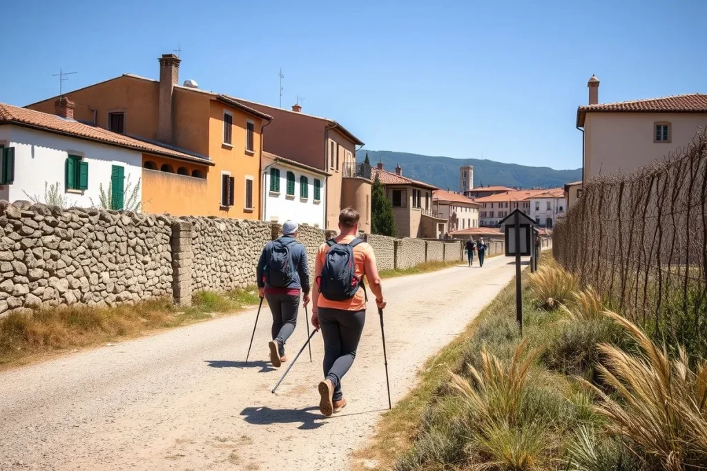
From Saint-Jean-Pied-de-Port, the classic route crosses the Pyrenees to Roncesvalles, then continues through Burgos, León and Sarria before reaching Santiago. At approximately 772–780 km, it offers the clearest long-distance progression, the strongest concentration of accommodation and food services, established waymarking and an easy social rhythm. The trade-off is popularity: quieter stretches exist, but the main route feels busy around the most accessible sections. For a shorter trip, Sarria is the practical starting point.
Camino Portugués
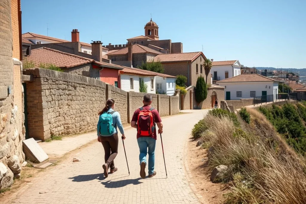
The Porto-to-Santiago route makes a sensible first long-distance Camino, with more accessible terrain than the hillier northern options. Choose the Central Way for an inland walking experience, or the Coastal Way for sea views and a stronger urban influence; the variants don’t always produce identical stages or service patterns. Urban paving can be hard on your feet. Switching between variants also requires careful planning, but Porto provides straightforward access and the route suits walkers seeking a manageable first expedition.
Camino del Norte
Beginning in Irún, the Norte follows the Atlantic side through San Sebastián, Santander, Gijón and Ribadeo. Its coastal landscapes and less concentrated atmosphere suit experienced walkers, but the approximately 820–835 km route is hillier, with repeated ascents and descents. Services are available, though some sections feel less continuous than the Francés, so you’ll need to plan each day more carefully.
Camino Primitivo
The Primitivo leaves Oviedo and joins the wider Camino network via Lugo. Steeper terrain, more remote sections and fewer services make it the choice for challenge and solitude, not the easiest introduction. Fit hikers who are comfortable carrying supplies and managing variable days will find a more rugged experience. Walkers prioritising effortless logistics should choose the Francés or Portugués instead.
Vía de la Plata and Sanabrés
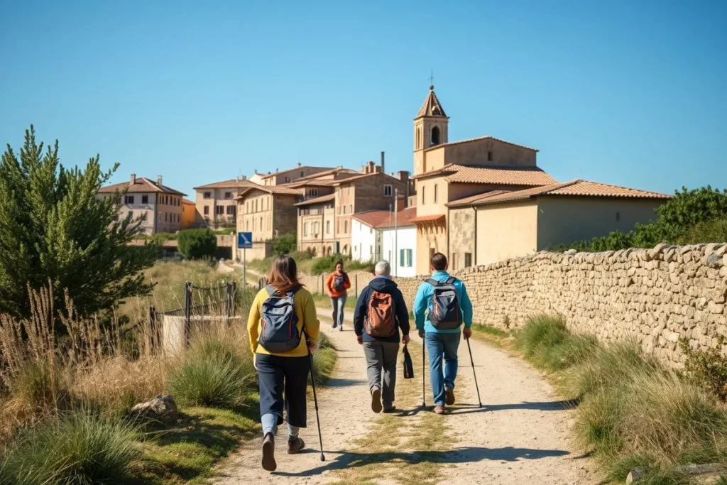
Running north from Seville before continuing via the Sanabrés towards Ourense, this route suits walkers with substantial time and an appetite for long, exposed stages. Its southern setting brings a serious practical constraint: the route can be dangerously hot in July and August, according to AEMET’s published climate guidance. Spring or early autumn is more sensible, but you’ll still need to check services and shade stage by stage.
Camino Inglés
The Inglés from the Ferrol area to Santiago is the compact option for a limited holiday, with a shorter commitment than the major routes and a clear finish in Santiago. It suits walkers who want a recognised Camino atmosphere without spending several weeks on the trail. If you’re booking it specifically for a Compostela, verify the current qualifying-distance interpretation with the Pilgrim’s Reception Office; requirements and route measurements shouldn’t be assumed.
Head-to-head: how the Camino routes compare
Difficulty, distance and terrain
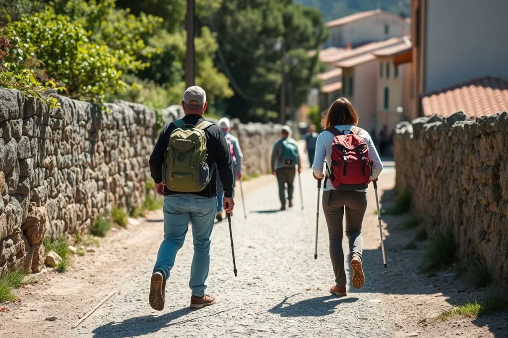
The Camino Francés is the easiest route to organise, not necessarily the easiest underfoot. From Saint-Jean-Pied-de-Port to Santiago it covers approximately 772–780 km, with the demanding climb to Roncesvalles early on, then long meseta stages around Burgos and León before Galicia’s rolling terrain. The Portugués Central, usually walked from Porto or Tui, is generally gentler; the Coastal Way adds seaside sections but varies more between coastal and inland alternatives.
The Camino del Norte runs approximately 820–835 km from Irún and is hillier, with frequent ascents and descents. The Primitivo from Oviedo is the more rugged choice, with steeper, more remote sections and longer gaps between services. The Vía de la Plata from Seville, including the Sanabrés option towards Santiago, is a long-distance undertaking with exposure to serious heat in July and August.
Daily distances depend on your stages, but a full route usually means several weeks rather than a single holiday. For a short qualifying walk, Sarria to Santiago is approximately 115 km; Tui is the practical Portuguese starting point to investigate for a similar itinerary. The Inglés from the Ferrol area is more compact, but check its current measured distance before relying on it for a Compostela.
Surface, access and navigation
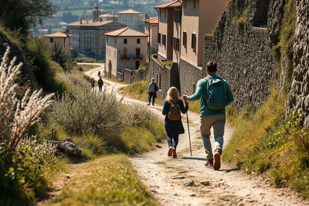
None of these is a universally accessible trail. Expect uneven ground, cobbles, rural tracks and occasional steep sections; even the relatively gentle Portugués can be tiring in poor weather. Norte and Primitivo require more confidence on sustained climbs, while the Francés and Portugués usually offer the simplest logistics and more frequent alternatives when a stage proves too ambitious.
Yellow arrows and scallop shells mark the routes, but carry an up-to-date guide or offline map, particularly on remote Norte and Primitivo sections. Trailheads and return transport are practical rather than automatic: Renfe and regional operators serve or approach Porto, Tui, Sarria, Oviedo, Irún, Saint-Jean-Pied-de-Port, Ferrol and Santiago. Check current rail and bus timetables before fixing flights or a tight first-stage plan.
Services, atmosphere and weather
The Francés has the strongest concentration of accommodation, food and fellow walkers, especially on the final approach from Sarria. The Portugués is also well served, with urban stops such as Porto and established stages towards Santiago. Norte and Primitivo feel less concentrated and can have longer gaps between meals, shops and beds; the reward is a quieter walk and more varied coastal or mountain scenery.
Atlantic rain is a planning factor on the Norte, Primitivo and Galician sections, while the southern Vía de la Plata can become dangerously hot in midsummer, according to Spain’s national weather agency AEMET. For the Compostela, document at least the final 100 km on foot on an officially recognised route, using a stamped credencial, then present it at the Pilgrim’s Reception Office in Santiago; confirm current interpretation with the office before departure.
Quick verdicts
- Easiest logistics: Camino Francés.
- Best services: Francés, followed closely by the Portugués.
- Best scenery: Norte for coast; Primitivo for mountain terrain.
- Fewest concentrated crowds: Primitivo or the less-travelled sections of the Norte.
- Most challenging: Primitivo for sustained terrain; Vía de la Plata for heat and long, exposed stages.
Which route is right for you? Recommendations by traveller type
First-time or social walker — choose the Camino Francés. Its established waymarking, frequent services and sociable atmosphere make it the most forgiving introduction to long-distance walking. Start at Saint-Jean-Pied-de-Port for the classic journey, or at Sarria for a shorter itinerary; the latter reaches Santiago in approximately 115 km, according to Seis Caminos de Santiago.
First long-distance hike — choose the Camino Portugués Central. The Porto-to-Santiago route suits walkers who want a substantial journey without committing to the full Camino Francés. Its generally gentler terrain and practical access through Porto make logistics simpler, though you should still expect uneven surfaces and some long walking days.
Coastal scenery and towns — choose the Camino Portugués Coastal. It gives priority to the Atlantic edge and urban stops, but stage lengths and services vary where the coastal and central variants diverge. Confirm the exact itinerary before booking accommodation or luggage transfers.
Experienced hiker seeking scenery with fewer concentrated crowds — choose the Camino del Norte. The route from Irún is approximately 820–835 km and has frequent ascents and descents, so its quieter feel comes with more sustained effort. For challenge and solitude, choose the Camino Primitivo: it is a better fit for a fit walker comfortable with steeper, more remote sections and fewer services.
Several weeks available — choose the Vía de la Plata and Sanabrés. This southern option rewards long-distance walkers who can manage sparse stages, exposure and heat; the Spanish meteorological agency’s guidance highlights serious summer heat risk, especially in July and August. It is a poor choice for a first Camino at that time of year.
One week or less — choose the Inglés, or Sarria to Santiago. The Inglés is the compact option from the Ferrol area, but check current qualifying guidance before relying on it for a Compostela. Walkers must document at least the final 100 km on foot on an officially recognised route, with a credencial and stamps, according to Pilgrim Artifact. Tui is the practical short Portuguese starting point; verify its measured distance and credential requirements before departure.
Solo walkers and older or less-conditioned hikers will usually find the Francés or Portugués Central easier to manage than the Norte or Primitivo. If private rooms matter more than pilgrim sociability, reserve accommodation ahead where possible rather than depending on public albergues, and build shorter stages into the plan.
When to walk: the best season for each route
Late spring—especially May and June—and early autumn, particularly September, offer the best balance across the Camino de Santiago: longer daylight, manageable temperatures and more dependable services than winter. They are also preferable to the busiest summer period for walkers who want a quieter rhythm.
Atlantic routes such as the Camino del Norte, Camino Primitivo and the final stages through Galicia can be cool and wet, so check AEMET forecasts and local accommodation openings before setting out. The Vía de la Plata deserves more caution: AEMET guidance highlights serious heat exposure in July and August, when long, exposed stages can become unsafe.
The comparison brief identifies June, July, August and December as peak periods, but December’s unusual demand pattern should be confirmed against current local information before booking. Winter brings shorter daylight, rain and reduced services on some sections. For any season, check route-specific forecasts and opening arrangements rather than assuming every village or albergue will be operating.
Getting to each Camino start and back from Santiago
Plan the trailhead as part of the route, not as an afterthought. Saint-Jean-Pied-de-Port and Roncesvalles require an onward connection in the French-Spanish border area; check the current bus and rail combinations for your date. Renfe and regional operators serve or approach Sarria, Tui, Porto, Oviedo and Irún, although timetables change, according to santiago.es.
For the northern routes, Irún is the practical start for the Camino del Norte, while Oviedo starts the Primitivo. The Vía de la Plata begins in Seville and the Sanabrés continuation is reached via Ourense. Ferrol is the usual access point for the Camino Inglés; Porto serves both Portuguese variants, and Tui is a convenient shorter starting point. Confirm regional bus connections as well as rail: some trailheads are approached rather than reached by a direct train.
After arriving in Santiago de Compostela, allow time for your onward train, coach or flight rather than booking a tight same-day connection. Many UK and US visitors may enter Spain visa-free for up to 90 days in any 180-day period, but GOV.UK Foreign travel advice, updated 15 September 2026, stresses that rules depend on nationality and passport conditions; check your government’s current advice.
Where to sleep: albergues, private rooms and food on the way
Accommodation shapes each day. Xunta de Galicia public albergues cost €10 per night in 2026, according to santiago.es’s 2026 guidance; they generally work first come, first served, accept no reservations and apply a one-night rule. That suits flexible walkers, but not anyone who needs a guaranteed bed.
Private albergues may take bookings, while pensions and hotels offer more privacy and predictability at a higher cost. Reserve earlier on the popular Camino Francés and short Sarria–Santiago section, particularly in peak months; remote Norte and Primitivo stages have fewer alternatives, so plan each overnight stop rather than assuming the next village has space.
Village cafés and the menú del peregrino—typically €12–18 in 2026, with prices often higher near Santiago, according to santiago.es—make eating straightforward on serviced stretches. Carry food and water for quieter stages, and check current accommodation arrangements before setting out.
Travel costs: 2026 Camino budgets by walking style
Plan on roughly €30–40 per person per day for an austere Camino, €50–80 for a more comfortable walking budget, or €100–250+ for hotel-level accommodation, transfers and other package inclusions. These are estimates rather than guarantees: route, season, town, room demand and how often you eat out will change the total.
| Estimated cost (2026) | Budget | Mid-range | Luxury |
|---|---|---|---|
| Daily walking costs: bed, food and routine pilgrimage expenses | €30–40 per person | €50–80 per person | Not covered by the daily-budget source |
| Xunta de Galicia public albergue | €10 per person per night | Not applicable | Not applicable |
| Private albergue bed | About €15 per person per night | €15–40 per person per night | Not covered |
| Menú del peregrino | About €12 per meal | €12–18 per meal | Not covered |
| Comfortable or luxury walking costs | Not covered | Not covered | €100–250+ per person per day |
Basis and date: estimates are for September 2026 unless marked 2026. Daily walking figures come from santiago.es; accommodation figures from its 2026 albergue guidance, and the menu range from its Camino FAQ. The luxury range is reported by Pilgino for 2026.
Public albergues in Galicia are the cheapest option, but the Xunta de Galicia tariff is only useful if you can travel without reserving: according to santiago.es guidance, these beds cost €10 in 2026, do not accept reservations and generally allow one night on a first-come, first-served basis. Private albergues offer more flexibility, while a private room, luggage transfer or hotel on the Norte and Primitivo can push a day towards the upper end of the range.
Budget separately for transport to the trailhead, flights, insurance, equipment, laundry, baggage transfer and sightseeing. Check live accommodation and transport prices for your chosen route and dates before booking; prices near Santiago and during busy periods may be higher.
| Item | Budget | Mid-range | Luxury |
|---|---|---|---|
| Budget walking costs | €30–40 per person per day | €50–80 per person per day | Not covered by this source |
| Comfortable or luxury walking costs | Not covered by this source | Not covered by this source | €100–250+ per person per day |
| Xunta de Galicia public albergue | €10 per person per night | — | — |
| Private albergue | €15 per person per night | €15–40 per person per night | Not covered by this source |
| Menú del peregrino | €12 per meal | €12–18 per meal | Not covered by this source |
Estimated ranges based on the sources listed below. Prices change; check with providers before booking.
Before you book: credentials, navigation and trail safety
Once you have chosen a route, get a credencial (pilgrim passport) and collect stamps along the way. To receive the Compostela, you must document at least the final 100 km on foot—or 200 km by bicycle—on an officially recognised route, then present the credencial at the Pilgrim’s Reception Office in Santiago. Confirm the current interpretation with the Oficina del Peregrino before relying on an irregular itinerary or a short route.
Carry an up-to-date guide or offline map, a charged phone, water and layers for changing weather. Yellow arrows and scallop shells mark the way, but remote Norte and Primitivo sections have longer gaps between services; uneven tracks and steep ground deserve conservative pacing. Check AEMET before each stage: Atlantic routes can be wet, while the Vía de la Plata can be dangerously hot in July and August. Winter brings shorter daylight.
The Pilgrim’s Reception Office is at Rúa das Carretas 33. Confirm holiday arrangements before travelling, particularly around 25 December and 1 January, and take insurance covering medical treatment, repatriation and interruption after injury.
Conclusion: choose the route that fits your week, not your idealised Camino
For most first-time walkers, choose the Camino Francés: it offers the strongest combination of services, waymarking and company. Choose the Camino Portugués if you want a generally gentler long route, or Sarria–Santiago for roughly one week and the clearest short qualifying walk.
Experienced hikers should look to the Camino del Norte or Primitivo for more demanding terrain and a less concentrated atmosphere. Choose the Vía de la Plata outside the hottest summer period, and the Camino Inglés when time is tight, after checking current Compostela guidance.
Now select your start point, confirm the rules with the Oficina del Peregrino, check current transport, and book only the accommodation standard and stage lengths your fitness genuinely supports.
Frequently asked questions
Can I walk the Camino de Santiago alone?
Yes, a solo itinerary is practical, but route choice and preparation matter. The Camino is generally marked with yellow arrows and scallop shells; carry an up-to-date guide or offline map, particularly on more remote sections of the Camino del Norte and Camino Primitivo. Check AEMET forecasts before each stage, take travel insurance covering medical treatment, repatriation and interruption caused by injury, and confirm current entry requirements for your nationality.
Are yellow arrows enough for navigation, or should I use an offline map?
Treat yellow arrows and scallop shells as the route’s main waymarking, not as your only navigation tool. The guidance supplied by santiago.es recommends carrying an up-to-date guide or offline map, especially on the more remote Norte and Primitivo sections. This is also useful when weather, darkness or an indistinct rural track makes a marker harder to spot. Download route information before leaving each morning.
What footwear works best on the different Camino routes?
Choose footwear for mixed surfaces rather than for a conventional mountain trail: Camino paths can include uneven ground, cobbles and rural tracks. The hillier Camino del Norte and steeper, more remote Camino Primitivo call for secure grip and support, while wet Atlantic conditions make water resistance useful on northern routes and in Galicia. Test footwear before departure, and check the specific route and weather forecast rather than relying on one universal shoe recommendation.
Should I start the Portuguese Way in Porto or Tui?
Start in Porto if you want a longer Portuguese Camino itinerary and time to build your walking rhythm; Renfe and regional operators provide access to Porto, although current timetables should be checked before booking. Choose Tui for a shorter, practical qualifying walk towards Santiago. The supplied route guidance lists Tui to Santiago as a short Portuguese-route option, but advises confirming the current measured distance and credential requirements before travel.
How many kilometres should I plan to walk each day?
There is no single suitable daily distance in the supplied route information. Plan around the terrain, weather, service gaps and your conditioning: the Norte has frequent ascents and descents, while the Primitivo includes steeper and more remote sections. Southern routes can expose walkers to serious heat in July and August. Build a flexible itinerary, especially for a first Camino, and check each stage’s current accommodation and transport options before fixing arrival times.
Can I arrange luggage transfers between stages?
The supplied sources do not establish a route-wide luggage-transfer service, price or booking rule, so do not assume that transfers operate on every stage. Availability can vary by route, season and accommodation, particularly on more remote Norte and Primitivo sections. Ask your accommodation or a specialist operator about the exact stages before travelling, and confirm what happens if weather or injury changes your itinerary. Travel insurance should cover interruption caused by injury.